Cold front brings additional showers and storms
MACON, Georgia (41NBC/WMGT) – An upper level low positioned across the Northern Plains will drag a cold front towards our area, bringing low clouds with showers and scattered storms 


over the short term. The wedge continues to erode, with ample moisture advection surging out of the Gulf ahead of the front. As a result, ongoing showers embedded with scattered thunderstorms and drizzle are occurring alongside low ceiling clouds with mist across the region. The wedge will be slow to erode, which will mute the effects of frontal forcing in areas where low ceiling remain in place. Also, the degree of enhanced thunderstorm coverage will be heavily contingent on the amount of sun that is able to peek through. The Storm Prediction Center has issued a Marginal Risk of 


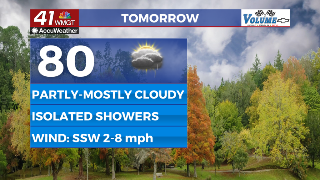
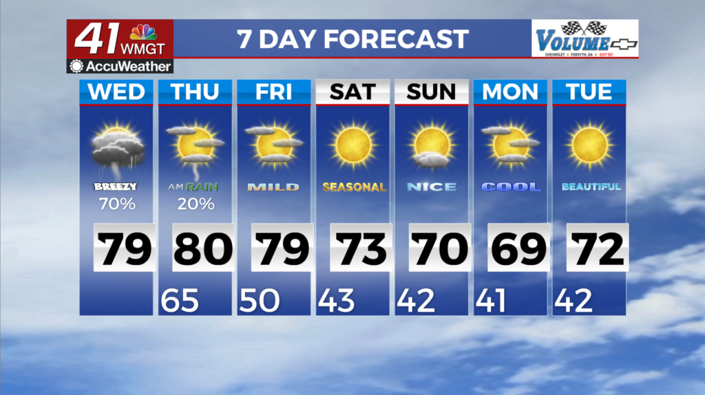
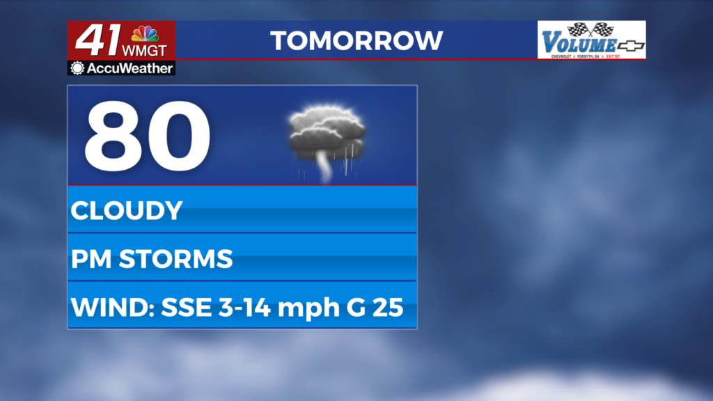
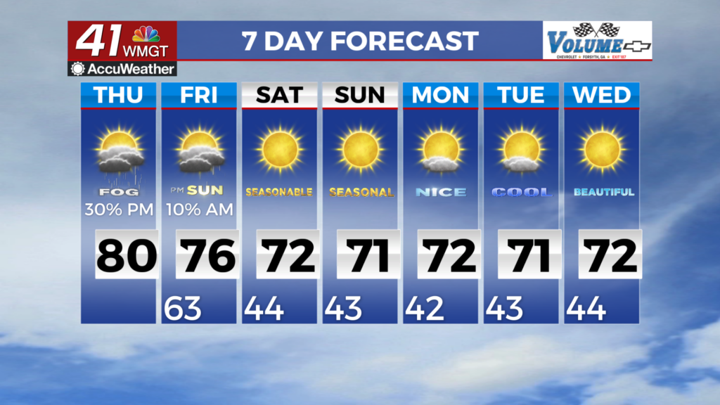
severe weather for the bulk of our area for any storms that are able to form and tap into the shear and instabilities into the afternoon. Among the storms capable of realizing their maximum potential, there is a low risk of a short-lived, weak tornado or convectively-driven strong gusty winds through the early evening. Some storms will be prolific rainfall producers. Some showers and storms could produce 1 to 1.5 inches at times with training. Widely scattered showers may redevelop and persist particularly across Middle Georgia through the day. Surface winds will remain out of the southeast to southwest through the day at around 8 to 12 mph, with occasional gusts possible through sunset. Temperatures will be mild, with daytime highs ranging from the upper 60s to upper 70s depending on wedge effects, and overnight lows in the low to upper 60s throughout the period.