

Storm chances climb further Wednesday afternoon
MACON, Georgia (41NBC/WMGT) – Humidity and rain chances will climb Wednesday leading up to the arrival of our next storm system.
This Evening
It’s been a partly sunny and hot afternoon with a few isolated storms over the southern half of the region. A couple of showers or a storm are possible over the northern half of the region this evening however the odds are lower compared to the southern half. Temperatures will drop into the lower 70s and upper 60s leading into Wednesday morning under mostly clear skies. The wind will be light from the south and some fog looks likely through sunrise tomorrow.
Tomorrow
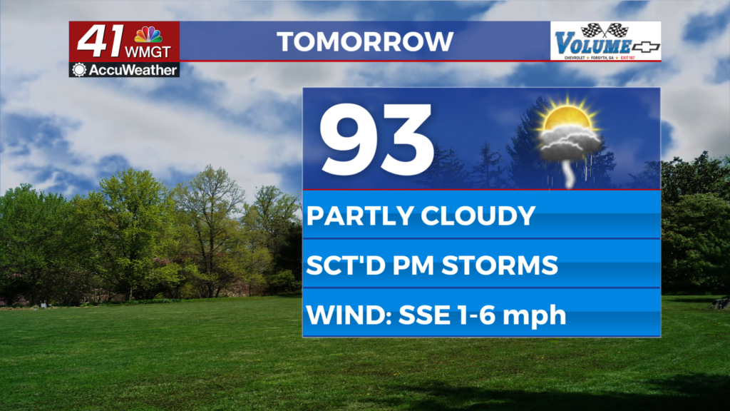
Wednesday will still be a hot day under partly cloudy skies with temperatures peaking in the low to mid 90s. Heat index values should push 100 for much of the region. More than half the region should see storms over the back half of the day. For now severe activity is not expected with storms tomorrow afternoon/evening however the most intense storms could bring wind gusts between 40-60 mph. Some small hail could also be possible. The wind will be light and variable.


Overnight will be partly cloudy and a bit muggy with some fog possible into Thursday morning. Temperatures will mostly valley in the lower 70s accompanied by light wind out of the south.
Thursday and Beyond
The next low pressure system and an associated stationary front will bring plenty of cloud cover and scattered storms to Middle Georgia Thursday and Friday with Saturday likely seeing some solid odds as well. This pattern will lead to cooler temperatures in the short term before hot and humid conditions make a comeback next week.
Watching the Tropics
There are still two areas to monitor in the Atlantic Basin for tropical development. The first is likely not going to be an issue as it is moving into colder water further north towards Canada. It currently has 40% odds to develop into a depression within the next 7 days as well as the next 48 hours. The other one off the west coast of Africa is now up to 70% odds to become a depression within the next 48 hours and 7 day period. The next name on the list is Dolly.

Follow Chief Meteorologist Aaron Lowery on Facebook (Aaron Lowery 41NBC) and X (@ALowWX) for weather updates throughout the day. Also, you can watch his forecasts Monday through Friday on 41NBC News at 4, 5, 5:30, 6, and 11 p.m.