Storm odds ramp back up again Thursday
MACON, Georgia (41NBC/WMGT) – More cloud cover and widespread storms are expected Thursday afternoon and evening around Middle Georgia.
This Evening


It’s been a hotter day across Middle Georgia thanks to more sunshine and reduced rain chances this afternoon. A few showers and storms will be possible through the evening and into tonight, however most of the region should stay dry. Temperatures will largely drop into the lower 70s as the wind flows from the south-southeast around 5 mph. Patchy fog will be possible heading into the sunrise Thursday, especially for areas that receive rain this evening/early tonight.
Tomorrow


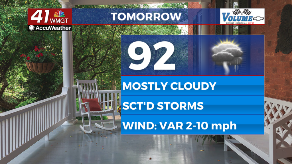
The rain gear will be important to grab out the door Thursday as scattered showers and storms are likely to begin around lunchtime. Mostly cloudy skies are likely with temperatures climbing into the upper 80s and lower 90s around the region. Heat indexes should push towards 100 across the region. Organized severe activity is not expected however the most intense storms/storm clusters may bring a few damaging wind gusts or some hail.


Overnight a few showers and storms may linger early before activity tapers off sometime after midnight. Temperatures will mostly valley in the lower 70s however an upper 60 cannot be ruled out. The odds for fog will be higher heading into Friday morning as well thanks to widespread rain in the late afternoon/evening. The wind will be light out of the south-southeast.
Friday and Beyond


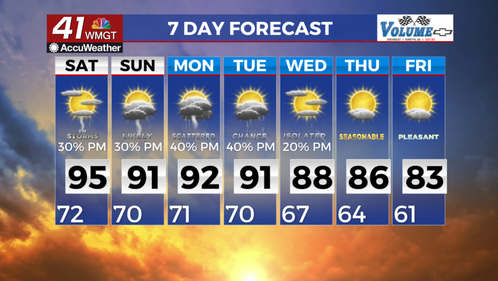
Partly cloudy and seasonal temperatures are likely to end the work week and should continue through the weekend. Expect close to half of Middle Georgia to see showers and thunderstorms each afternoon and evening. This pattern should carry well into next week.

Follow Chief Meteorologist Aaron Lowery on Facebook (Aaron Lowery 41NBC) and X (@ALowWX) for weather updates throughout the day. Also, you can watch his forecasts Monday through Friday on 41NBC News at 4, 5, 5:30, 6, and 11 p.m.