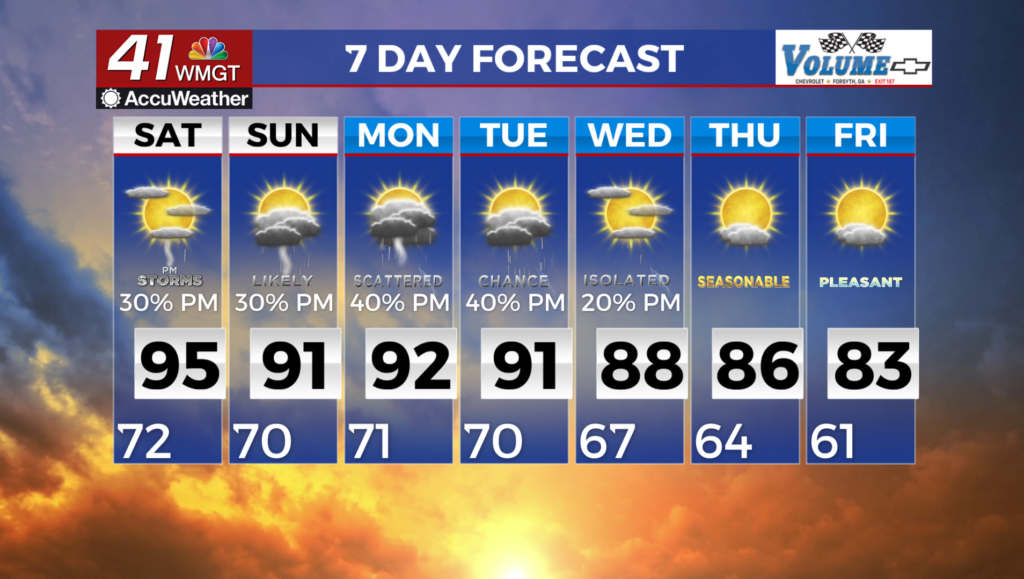
Storm odds are lower this evening; expected to climb again tomorrow
MACON, Georgia (41NBC/WMGT) – The odds for rain are lower this evening following a wet weekend, however another round of scattered activity looks possible Tuesday.
This Evening


It’s been a mostly cloudy day for much of Georgia thus far however more sunshine has been coming through this afternoon. A few isolated showers and storms will be possible this evening however compared to the last couple of days the odds are a good bit lower. Skies will likely remain partly cloudy into tonight with temperatures largely dropping into the lower 70s. The coolest spots may crack into the upper 60s. The wind will be light out of the southwest.
Tomorrow


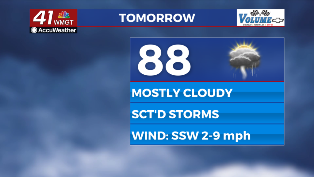
An area of low pressure is likely to move through Georgia tomorrow and will bring more cloud cover and storm opportunities. Expect temperatures to top off in the upper 80s for most of the region with the warmest locations reaching the lower 90s. The wind will generally flow from the southwest around 5-10 mph. Another round of scattered storms is likely in the afternoon and the evening. Severe weather is overall not expected though the most intense storms may bring a damaging wind gust or two.


Overnight a few showers may linger until around midnight or shortly thereafter. Temperatures will drop into the lower 70s accompanied by light and variable wind. Fog will be possible leading into Wednesday morning as well.
Wednesday and Beyond


Wednesday and Thursday may also see another round of scattered storms as conditions continue to trend mostly cloudy around Middle Georgia. The rain odds are currently expected to drop for the later part of the work week, remaining low into the 2nd weekend of August. A drop in rain odds would be accompanied by an increase in heat.

Follow Chief Meteorologist Aaron Lowery on Facebook (Aaron Lowery 41NBC) and X (@ALowWX) for weather updates throughout the day. Also, you can watch his forecasts Monday through Friday on 41NBC News at 4, 5, 5:30, 6, and 11 p.m.