Temperatures climb more Thursday as a handful of storms remain possible
MACON, Georgia (41NBC/WMGT) – The stationary front is breaking down leading to more sunshine and in result more heat, however close to half the region may still see some rain Thursday afternoon.
This Evening
It’s the warmest day so far this week and a few isolated storms are ongoing late today. A few more showers and storms will be possible through the evening and into early tonight. Once the rain subsides expect a partly cloudy night with some fog possible, especially in areas that receive rain this evening. Temperatures will again valley in the low to mid 70s across the region. The wind will be light from the west-northwest.
Tomorrow
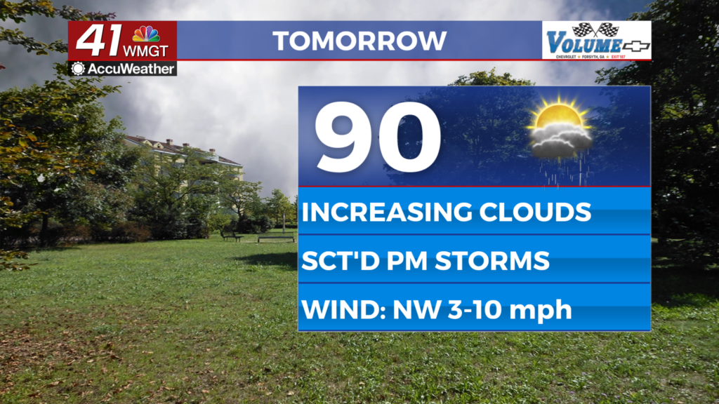
Thursday will be the first truly hot afternoon of the week as temperatures will largely reach 90 across the region. Expect a few locations to see heat indexes in the triple digits as well. Cloud cover is expected to increase over the latter half of the day as storms fire up. Close to half the region should see rain tomorrow with a handful of thunderstorms likely. The wind will be light out of the northwest around 5 mph.


Overnight will be partly cloudy with patchy fog possible heading into Friday morning. The odds for fog again will be most likely in areas that receive rain Thursday evening. The odds for rain overnight are low with any activity leftover from the evening fading out by midnight. Temperatures will valley in the low to mid 70s once again with light wind persisting from the west-northwest.
Friday and Beyond
Temperatures will become more seasonal into the weekend as temperatures climb into the low to mid 90s. Real feels will largely reach to around 100 going into the weekend with rain odds limited to 1/3 of the region or less each afternoon. This pattern will continue into next week.
Watching the Tropics
There are two areas of interest in the Atlantic Basin. The most immediate concern is in the northeastern Gulf of America as the remnants of the stationary front and its associated low may try to spin up into something tropical over the next week. At this time the odds for development into a Tropical Depression are 20% over the next 7 days. The other area to monitor is off the west coast of Africa near the Cape Verde islands. This area currently has 10% odds to become a depression in the next 48 hours as well as 10% odds to become a depression in the next 7 days.

Follow Chief Meteorologist Aaron Lowery on Facebook (Aaron Lowery 41NBC) and X (@ALowWX) for weather updates throughout the day. Also, you can watch his forecasts Monday through Friday on 41NBC News at 4, 5, 5:30, 6, and 11 p.m.