
Humidity drops tonight and tomorrow
MACON, Georgia (41NBC/WMGT) – A cold front is lowering the humidity across Middle Georgia heading into the middle of the week making things feel less sticky outside.
This Evening
Scattered cloud fields from the afternoon will mostly clear out heading through the evening hours. Those who wish to spend time on the water or outside should wear sunblock and stay hydrated. Storms are not expected tonight, however, so all plans are good to go. Temperatures will drop a good bit below normal tonight with expected lows in the low to mid 60s around the region. The wind will flow from the northwest at 5-10 mph with gusts reaching around 15 mph under mostly clear skies.
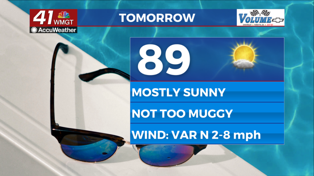
Tomorrow
A mostly sunny Hump Day is expected across Middle Georgia with temperatures peaking around 90 degrees. Thanks to the cold front’s passage the heat indexes should only be a couple of degrees warmer than the actual temperatures. The wind will generally flow out of the north at around 5 mph. No rain is expected.


Overnight will start on a clear note however some clouds may move in leading into the sunrise on Thursday. Expect temperatures to valley in the upper 60s with the warmest spots staying around 70 degrees heading out the door Thursday morning.
Thursday and Beyond
Temperatures should all climb into the 90s Thursday afternoon as a few isolated storms become possible during the heat of the day. The wind will return to out of the southwest which will allow the moisture content to climb heading into the weekend. Storm odds will climb as well with close to half the region possibly seeing rain each afternoon starting Friday. Those storms will be beneficial as heat indexes will be back into the triple digits by this coming weekend.

Follow Chief Meteorologist Aaron Lowery on Facebook (Aaron Lowery 41NBC) and X (@ALowWX) for weather updates throughout the day. Also, you can watch his forecasts Monday through Friday on 41NBC News at 4, 5, 5:30, 6, and 11 p.m.