
Rain odds climb again for the final day of the week
MACON, Georgia (41NBC/WMGT) – More rain is likely as the calendar flips from April to May as a warm front and area of low pressure move into Georgia.
This Evening
Mostly cloudy skies will become overcast tonight as isolated showers return after sundown tonight. The odds for any lightning or thunder are very slim but not zero. Severe activity of any kind is not anticipated. Temperatures should valley in the mid to upper 50s as the wind flows from the north-northwest around 5 mph.
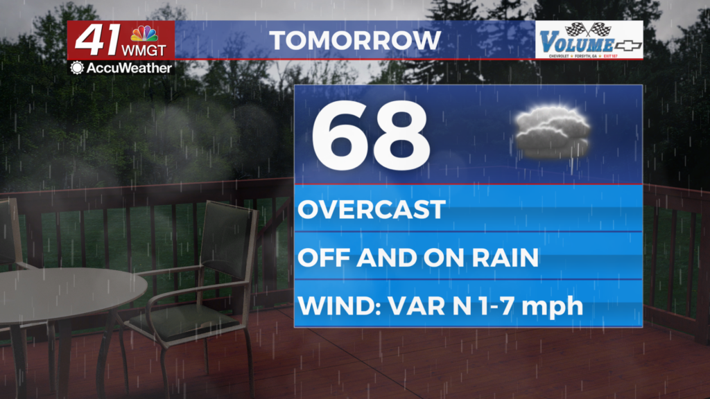
Tomorrow
Skies will remain overcast for the first day of May and off and on rain is likely. While thunderstorm activity should be limited during the day that doesn’t mean there won’t be any. Severe weather is not expected for Friday at this time, however. Aside from rain expect temperatures to peak in the upper 60s and lower 70s across Middle Georgia. The wind will be light as it generally flows out of the north.


Overnight will be overcast and more rain is likely with thunderstorms possibly arriving by sunrise Saturday morning. Low temperatures should be in the low to mid 50s as the wind remains light generally from the north.
Saturday and Beyond
The first half of the weekend will hopefully bring much needed rain to all of Middle Georgia however it is yet again possible that the southeastern counties that need the rain the most could see the short end of the stick. Severe weather is unlikely however the most intense storms Saturday could bring a few damaging wind gusts.

Clouds will clear Saturday evening as sunshine returns for the back half of the weekend with below average temperatures. It should remain sunny for the first couple of days next week.

Follow Chief Meteorologist Aaron Lowery on Facebook (Aaron Lowery 41NBC) and X (@ALowWX) for weather updates throughout the day. Also, you can watch his forecasts Monday through Friday on 41NBC News at 4, 5, 5:30, 6, and 11 p.m.