


Shower odds increase Thursday
MACON, Georgia (41NBC/WGMT) – Shower odds will increase around Middle Georgia Thursday despite the fact that more sunshine is expected than Wednesday afternoon.
This Evening
It’s been a mostly cloudy but warm day around Middle Georgia for the middle of the week. The breezes have also been rather notable with gusts reaching 20 mph in many locations. Tonight will be even warmer than last night with overcast skies anticipated through the night. Anticipate low temperatures to hover around 60 degrees across the region. While a shower is possible overall rain odds are very low. Fog will be possible, however increased wind from the south may play a limiting factor.
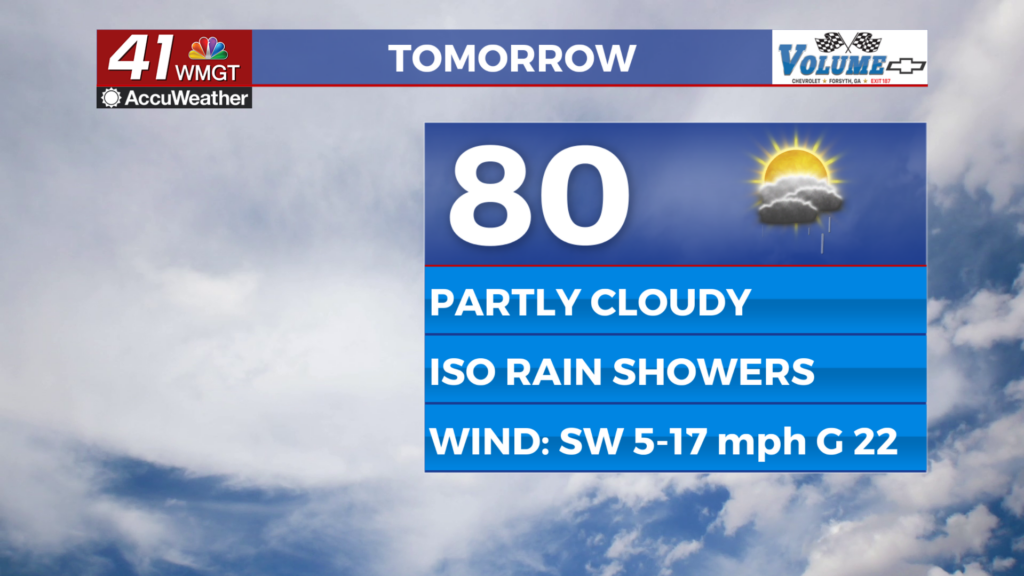
Tomorrow
A very warm day for late February is expected Thursday as temperatures climb towards 80 degrees around Middle Georgia. The wind will again be rather pronounced from the southwest as speeds range from 7-17 mph with gusts likely reaching as high as 25 mph. Isolated showers will be possible throughout the afternoon and evening under partly to mostly cloudy skies. More sunshine is expected Thursday than what was seen on Wednesday.


Overnight will be mostly cloudy with a few showers lingering. Rain odds will be lower than during the day, however. It will be an even warmer night than Wednesday’s as many lows will be in the mid 60s. Breezes from the southwest will remain strong at 10-15 mph with gusts pushing 20+ through the night.
Friday and Beyond
Mostly cloudy skies are expected for the final day of the work week with even higher odds for showers (and perhaps a T-storm or two) throughout the afternoon and evening. Temperatures will again push 80 degrees across much of the region despite the cloudy conditions. The wind will flow from the west-southwest at 5-15 mph with gusts ranging from 20-25 mph.

Saturday will see the most widespread rain odds as low pressure and a cold front pass through the region. This will lead to thunderstorms with heavy rain that should help even more with the ongoing drought. There are still some questions in regards to severe weather potential with this, however the flash flooding odds have dropped with the recent trend. Regardless the first half of the weekend will be quite warm with cooler and windy conditions likely Sunday following the frontal passage.

Follow Chief Meteorologist Aaron Lowery on Facebook (Aaron Lowery 41NBC) and X (@ALowWX) for weather updates throughout the day. Also, you can watch his forecasts Monday through Friday on 41NBC News at 4, 5, 5:30, 6, and 11 p.m.