
Heavy rainfall leads to a flood watch for Middle Georgia
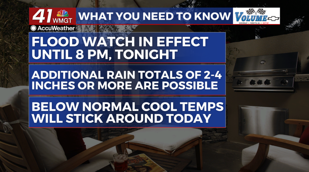
MACON, Georgia (41NBC/WMGT) – A blanket of clouds and waves of light to moderate rain showers make for a dreary Monday across the state. This has kept temperatures in the upper 60s to 


 low 70s. Temperatures are not expected to deviate too much from what they are now give or take 2 to 4 degrees. A very moist airmass remains in place across the Southeast. Strong easterly flow along the lee side of the Appalachians has kept the wedge firmly in place across North and Middle Georgia. This is also being reinforced by a low pressure system off the Atlantic coast. Multiple waves of light to moderate rainfall will continue to be the trend today. So far thunder has been limited given the stable environment, however, isolated thunderstorms do remain a possibility primarily for areas south of Columbus to Macon, as we head into the afternoon. Severe weather is possible but be mindful that lightning and gusty winds may accompany any storm that may develop. Over the next 24 to 36 hours (through Tuesday morning), multiple rounds of showers and isolated thunderstorms are anticipated, particularly within the Flood Watch area. At this time, additional rainfall of 2 to 4 inches and isolated amounts of 5 to 6 inches remain possible through Monday night. It’s also been windy at times and keep in mind that any amount of wind (even 20 to 30 mph winds) will be capable of knocking down trees given saturated soils. Creeks, rivers, and streams will also be on the rise in the coming days given multiple rounds of rainfall expected. Clouds and periods of rain will keep temperatures well below normal. Forecast high temperatures on Monday will be similar to Sunday. Overnight lows are forecast to be in the 60s to low 70s each night.