


Shower odds and wind to increase tomorrow
MACON, Georgia (41NBC/WMGT) – The stationary front becoming a warm front will lead to more wind and some showers for Middle Georgia.
This Evening
Overcast skies will remain across Middle Georgia in what has been a much cooler than expected afternoon. Temperatures today were down more than 20 from yesterday across the region. In fact, almost no warming has occurred since this morning in the northern half of the region. Temperatures will remain stagnant until the wind shifts back to the south as the stationary front becomes a warm front and pushes north. This should lead to temperatures in the 40s and 50s to begin Wednesday. A few isolated showers will remain possible through this evening and overnight as well.
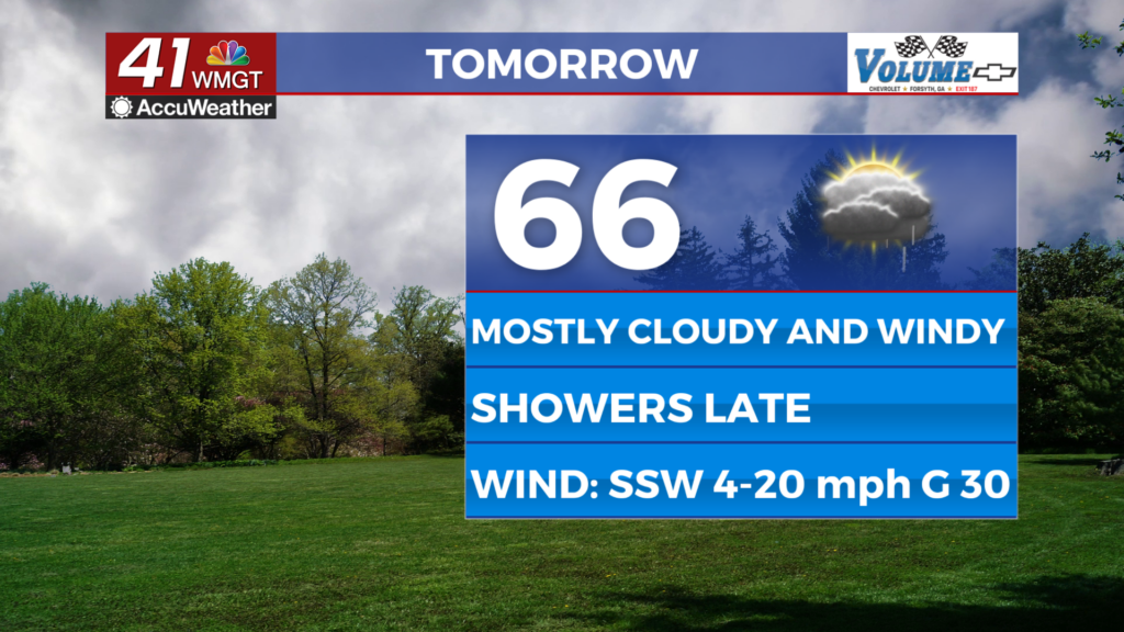
Tomorrow
Warming will continue throughout the day Wednesday as mostly cloudy skies are expected with wind that will shift from the south as the day goes on. This shift will start in the southern counties and continue north through the afternoon. Shower odds will increase more in the evening hours, however the odds overall wont be too high. The wind will be quite pronounced after the shift to the south-southwest as gusts will range from 20-30 mph.


Highs will reach the upper 60s and lower 70s during the evening and overnight. This is when shower odds will be at their highest before a cold front brings storms Thursday morning. There will also be a Full Moon tomorrow night, however it may be difficult to see because of all the cloud cover.
Thursday and Beyond
Much like how the highs for Wednesday are overnight, the same goes for Thursday as the cold front will drop temperatures through the afternoon and evening ahead of Friday morning. Expect strong winds on the backside of the front Thursday as clouds try to clear over the latter part of the afternoon. More sunshine is expected for Valentine’s Day on Friday along with respectable breezes from the east.


Another warm front/cold front combo is expected over the weekend that will bring showers Saturday and thunderstorms Sunday morning. Severe weather could be possible, however there are too many unknowns at this time.

Follow Chief Meteorologist Aaron Lowery on Facebook (Aaron Lowery 41NBC) and Twitter (@ALowWX) for weather updates throughout the day. Also, you can watch his forecasts Monday through Friday on 41NBC News at 4, 5, 5:30, 6, and 11 p.m.