


Scattered storms likely Wednesday
MACON, Georgia (41NBC/WMGT) – An incoming cold front will bring some storms to Middle Georgia over the back half of Wednesday.
This Evening
It’s been a partly to mostly sunny day depending on your location in Middle Georgia. Clouds will return through the evening and into tonight however ahead of the next pair of fronts. It will be a very warm night by December standards as lows drop into the mid to upper 50s, or close to 20 degrees above average. Wind will flow from the southeast at around 5 mph. No rain is expected tonight despite the increasing clouds. Some fog will be possible through the sunrise hours again tomorrow morning.
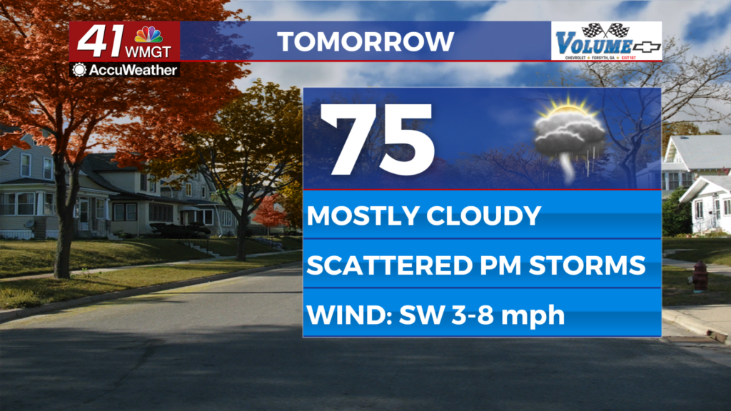
Tomorrow
Mostly cloudy skies are likely Wednesday as the warm front arrives in the morning and the cold front arrives later in the day. Highs will reach the mid to upper 70s across the region ahead of storms in the late afternoon and evening. Wind will mainly flow from the southwest at around 5-10 mph. No severe weather is expected, however thunder and lightning will be possible with the rain, especially for the northwestern half of the region.


A few storms may linger for the southeastern counties through the sunset and into Wednesday night. Wind will shift directions to the west-northwest at around 5-10 mph, gusting to about 15 mph through the night. All rain should be done by around midnight and clouds will work to clear some by Thursday morning. Low temperatures will be in the upper 40s and lower 50s.

Follow Chief Meteorologist Aaron Lowery on Facebook (Aaron Lowery 41NBC) and Twitter (@ALowWX) for weather updates throughout the day. Also, you can watch his forecasts Monday through Friday on 41NBC News at 4, 5, 5:30, 6, and 11 p.m.