Hottest day of the week expected Thursday
MACON, Georgia (41NBC/WMGT) – Highs will reach the upper 90s for most of the region with heat indices around 100 degrees.
This Evening


Scattered clouds from the afternoon will clear in the evening as temperatures drop into the lower 80s and upper 70s by midnight. A stray shower or two will be possible through the evening hours. Lows will be around average in the lower 70s for most of the region, however a couple of upper 60s cannot be ruled out. Wind will flow from the south around 5 mph.
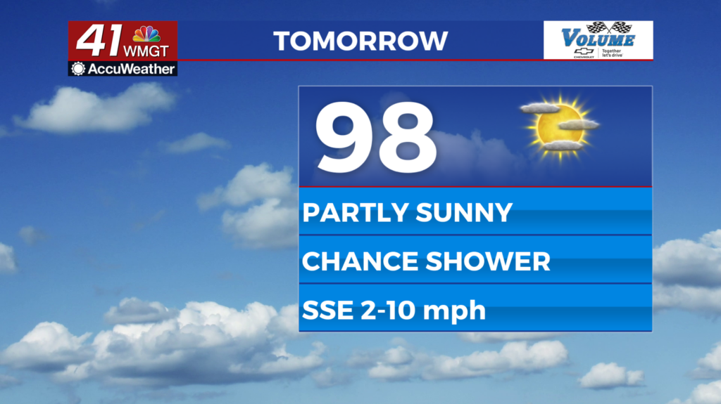
Tomorrow


Thursday should be a carbon copy of Wednesday save for temperatures that get a degree or two higher. Rain odds will stay low, limited to one or two small stray showers in the afternoon and evening. Highs will largely reach the upper 90s with heat indices reaching 100+. A heat advisory is not expected, however, as heat index values will remain below 105. Wind will continue from the south-southeast at 5-10 mph.


Overnight will be mostly clear with lows mainly expected in the lower 70s. The south-southeast wind will calm to around 5 mph.
The Tropics

There remains one area to watch in the Atlantic Basin with a 20% chance to develop into a tropical depression in the next 7 days.

Follow Meteorologist Aaron Lowery on Facebook (Aaron Lowery 41NBC) and Twitter (@ALowWX) for weather updates throughout the day. Also, you can watch his forecasts Monday through Friday on 41NBC News at 4, 5, 5:30, 6, and 11 p.m.


