Incoming cold front to increase rain chances this weekend
MACON, Georgia (41NBC/WMGT) – A warm front followed by a cold front will increase humidity this weekend as well as bring some storms.
The Rest of the Evening


Skies are mostly clear around Middle Georgia this evening and should stay that way through the night for the most part. It will be a bit muggier with most of the lows around the region jumping back into the lower 70s tonight. Wind will be calm out of the south-southwest.
Tomorrow


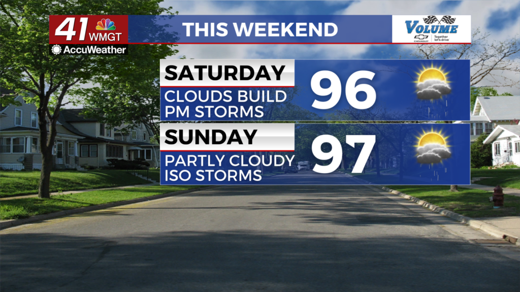
Saturday will begin on a mostly sunny note before clouds fill in during the late morning and lunchtime hours. An incoming cold front will instigate storms over much of the region in the late afternoon and evening, continuing into the early parts of the night. Highs will reach into the mid to upper 90s ahead of storms with heat indices pushing towards 100 degrees. Ambient wind will be out of the southwest at around 5 mph.


Overnight should see partly cloudy skies with lows in the lower 70s.
Sunday


Sunday will be partly cloudy as highs again push the mid to upper 90s. Heat indexes will be around 100 for most of Middle Georgia. Expect west-southwest wind at 5-10 mph to be accompanied by isolated storms in the afternoon and evening with the focus for those storms being in the southernmost counties. Overnight will be mostly clear with lows in the upper 60s and lower 70s.

Follow Meteorologist Aaron Lowery on Facebook (Aaron Lowery 41NBC) and Twitter (@ALowWX) for weather updates throughout the day. Also, you can watch his forecasts Monday through Friday on 41NBC News at 4, 5, 5:30, 6, and 11 p.m.


