


Tropical Storm Debby to continue dropping rain on parts of Middle Georgia
MACON, Georgia (41NBC/WMGT) – Rain started this morning in some southeastern Middle Georgia counties and hasn’t stopped.
This Evening
Strong breezes and even stronger wind gusts will continue to accompany overcast skies around Middle Georgia. As for the rain, the southeastern half of the region is seeing much more than the northwestern part, and that will continue to be the case. Gusts in the northwestern counties likely will only push about 30 mph, however they can still push 40+ through tonight in the southeastern counties. Overnight lows will be in the lower 70s with the aforementioned wind coming from the northeast.
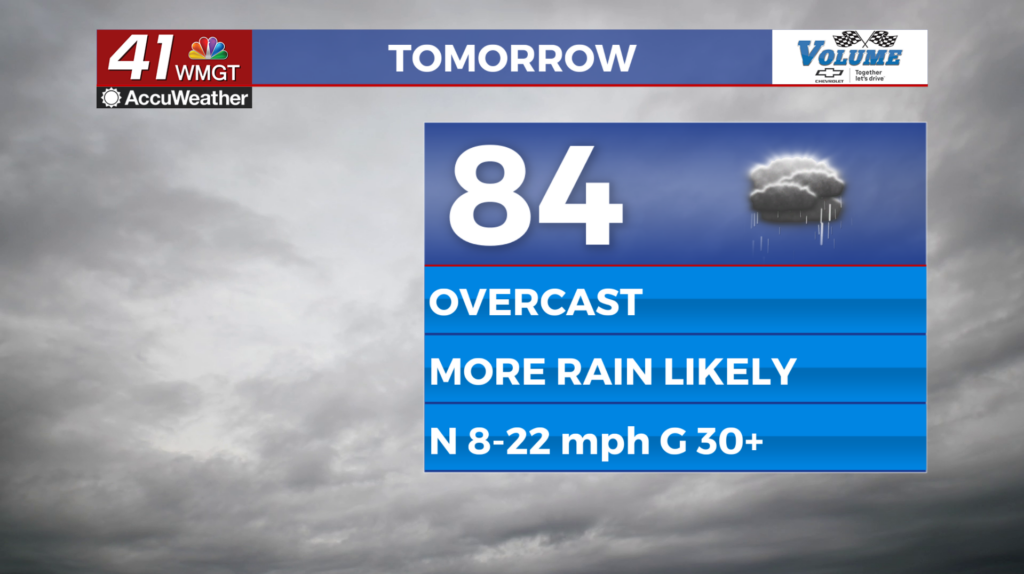
Tomorrow
Skies will stay overcast as Debby makes its way towards the Atlantic on the eastern side of Georgia. More rain will continue for the southeastern counties, however the northwestern counties may not see much if any rain Tuesday. Winds will still be pretty strong from the north-northeast around 10-20 mph, gusting upwards of 30 mph (mainly southeastern counties). Flash flooding will be a concern in the southeastern counties as well with the rain continuing from Monday. Expect high temperatures in the low to mid 80s.


Overnight will be mostly cloudy, however the rain should finally clear most of the region. Wheeler, Treutlen, and Telfair counties may see rain linger a bit longer. Lows will be in the lower 70s around the region with wind out of the north at 5-15 mph.
Wednesday and Beyond
Conditions should start to improve Wednesday as Debby moves back over the water. At this time Debby is expected to make a 2nd landfall in South Carolina before continuing northeast into North Carolina and Virginia. This should lead to sunshine and more heat returning to Middle Georgia.

Follow Meteorologist Aaron Lowery on Facebook (Aaron Lowery 41NBC) and Twitter (@ALowWX) for weather updates throughout the day. Also, you can watch his forecasts Monday through Friday on 41NBC News at 4, 5, 5:30, 6, and 11 p.m.


