Cooler this weekend
MACON, Georgia (41NBC/WMGT) – An incoming cold front will bring increased storm odds Saturday along with a slight drop in temperature.
This Evening


Middle Georgia should largely see mostly sunny skies through the sunset this evening. It will be another warm and muggy night with lows expected in the mid to upper 70s. Ambient wind will be out of the southwest around 5 mph. Rain odds overnight are slim, but a stray shower or two cannot be ruled out.
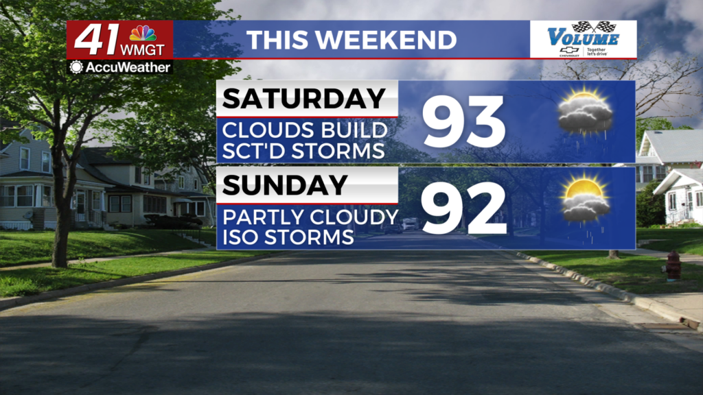
Saturday


Saturday will have partly cloudy skies early, however more clouds will fill in during the afternoon as storms begin to fire up. Temperatures will reach the low to mid 90s with heat indexes pushing 100 degrees. Ambient wind will be out of the southwest around 5-10 mph. A Level 1 “Marginal” threat for severe weather currently includes the northeastern third of Middle Georgia. This is due to the potential for a few storms to cluster which would elevate the odds for strong winds and hail.


Overnight skies will be mostly cloudy with overnight lows falling into the lower 70s following the passing of a cold front. Wind will be out of the south-southeast around 5 mph.
Sunday

Sunday will be partly cloudy with highs reaching the lower 90s for most of the region. A few isolated storms will be possible in the afternoon and evening.
The Tropics

Tropical Depression Four has formed in the Atlantic near Cuba. It is expected to move into the Gulf of Mexico west of Florida before crossing over Florida to the northeast and moving back into the Atlantic off the Georgia/South Carolina coastline. This will likely lead to winds picking up some next week. Rain chances will depend on the path of the storm and how organize it may be.

Follow Meteorologist Aaron Lowery on Facebook (Aaron Lowery 41NBC) and Twitter (@ALowWX) for weather updates throughout the day. Also, you can watch his forecasts Monday through Friday on 41NBC News at 4, 5, 5:30, 6, and 11 p.m.


