Cooler temperatures but escalating rain chances on the way
MACON, Georgia (41NBC/WMGT) – Humidity will rise tonight with increased rain chances taking over for the back half of the week.
This Evening


Scattered clouds from the afternoon will clear a bit this evening, but any cooling to the upper 90s and lower triple digits wont happen until after sunset. Winds will generally be out of the southwest overnight as cloud cover overhead remains scattered. While rain chances tonight are very slim, a stray shower cannot be ruled out. Lows will be in the upper 60s and lower 70s rolling into Thursday.
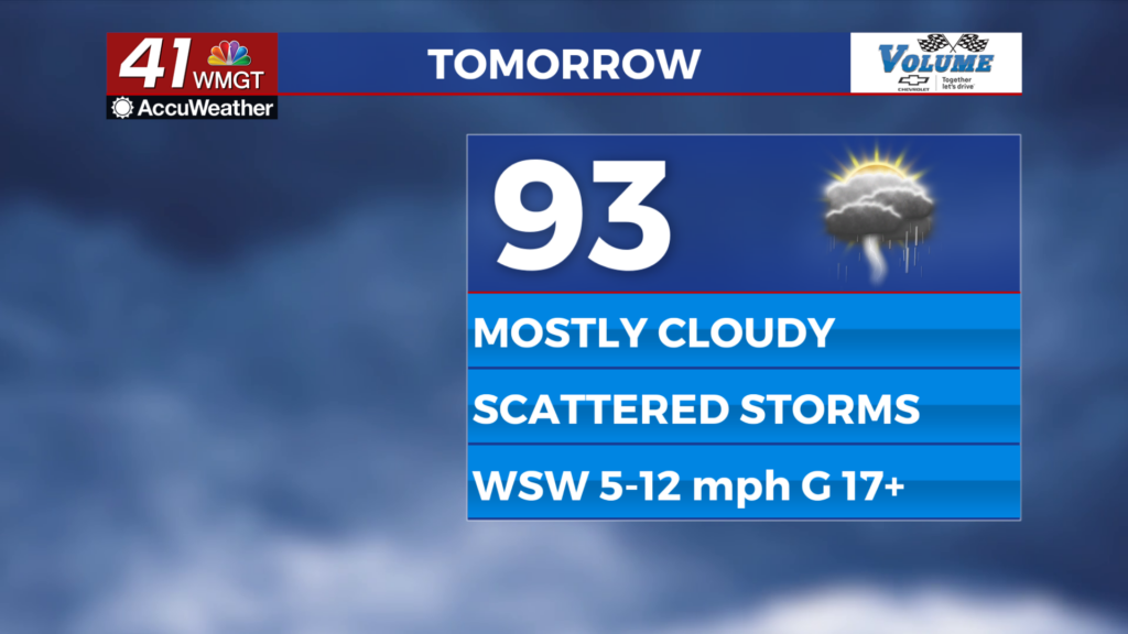
Tomorrow


It will be mostly cloudy and a bit cooler for Thursday around Middle Georgia as temperatures likely top out in the lower 90s for most of the region. Ambient wind will be light out of the southwest. Storm activity will be more widespread beginning in the afternoon which will bring some relief from the heat, however it will be sticker when temperatures climb following thunderstorm activity. No severe weather is expected.


Overnight skies will be partly to mostly cloudy, and fog will be likely as conditions overnight remain rather calm, especially in areas that get rain late. Low temperatures will be in the lower 70s for most of the region.
Friday and The Weekend


A partly cloudy and muggy pattern is taking over to finish June and begin July. While high temperatures will not be as hot as early this week, a ramp up in humidity will likely keep heat indexes in the upper 90s and low triple digits. Isolated to scattered storms will be possible each afternoon as well.

There is also an area in the southwest Atlantic Ocean to monitor for tropical development. As of now there is a 40% chance of the formation of a Tropical Depression in the next 7 days.

Follow Meteorologist Aaron Lowery on Facebook (Aaron Lowery 41NBC) and Twitter (@ALowWX) for weather updates throughout the day. Also, you can watch his forecasts Monday through Friday on 41NBC News at 4, 5, 5:30, 6, and 11 p.m.