Temperatures return towards average Tuesday
MACON, Georgia (41NBC/WMGT) – Temperatures will be back in the lower 90s following a weekend in the upper 90s.
This Evening


Isolated showers and storms will continue around Middle Georgia through the suppertime hours before dissipating after sunset. It will be a bit cooler tonight as most of the low temperatures return to the upper 60s. Overnight winds will come from the east-southeast at 5-10 mph, gusting as high as 15 mph. Scattered clouds are likely overhead throughout the overnight hours.
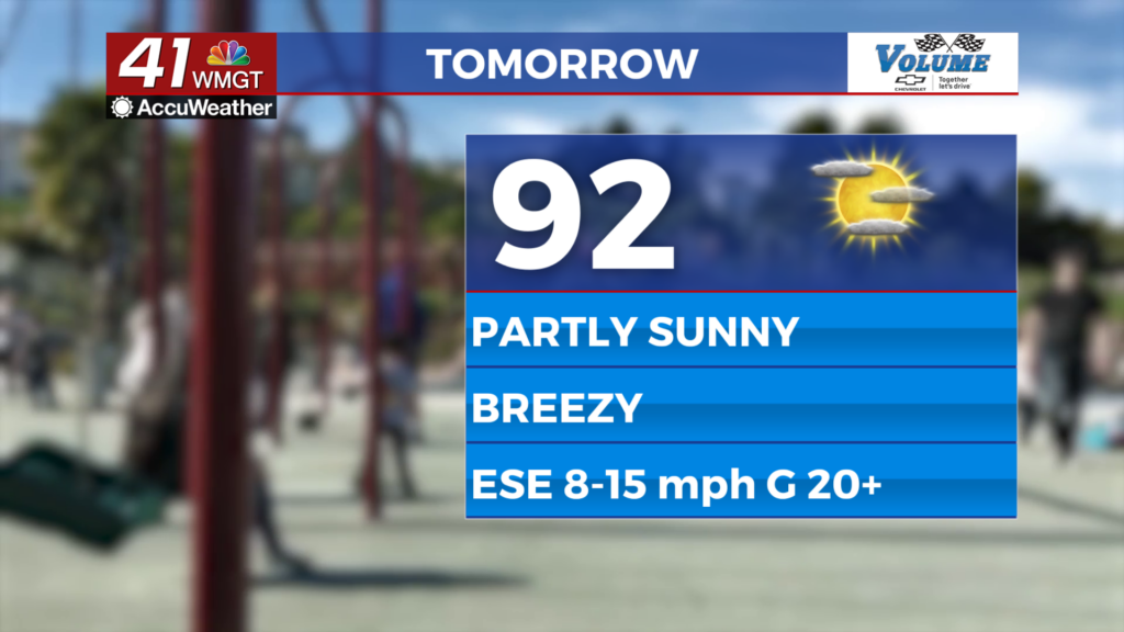
Tomorrow


Partly sunny skies are likely for Middle Georgia Tuesday as highs reach the low to mid 90s around the region. Ambient wind will come from the east-southeast at about 10-15 mph, gusting as high as 25 mph. Rain is unlikely in the afternoon and evening, however a stray shower cannot 100% be ruled out.


Overnight skies will be partly cloudy with low temperatures expected to fall into the mid to upper 60s. It will remain a bit breezy from the east as sustained speeds remain between 6-12 mph.
Wednesday and Beyond


It will be a breezy week overall courtesy of High Pressure lurking off the US East Coast as well as a developing tropical system in the western Gulf of Mexico. This convection in the Gulf could earn the name Alberto later today/this week. This storm will not pose a threat to the US.
Middle Georgia will keep it hot but near average throughout the middle of the week before calmer winds and more brutal heat take over for the weekend.

Follow Meteorologist Aaron Lowery on Facebook (Aaron Lowery 41NBC) and Twitter (@ALowWX) for weather updates throughout the day. Also, you can watch his forecasts Monday through Friday on 41NBC News at 4, 5, 5:30, 6, and 11 p.m.