Storm chances and humidity drop rolling into the weekend
MACON, Georgia (41NBC/WMGT) – A weak cold front moving through Middle Georgia Thursday will drop humidity to finish the week.
This Evening


Isolated storms and showers will remain possible through this evening around Middle Georgia. Skies are partly to mostly cloudy and will stay that way through sunset as well. Overnight clouds will gradually clear out as the wind shifts towards the west-northwest at about 5-10 mph. Low temperatures will be in the upper 60s and lower 70s, however dew points should be more towards the low to mid 60s.
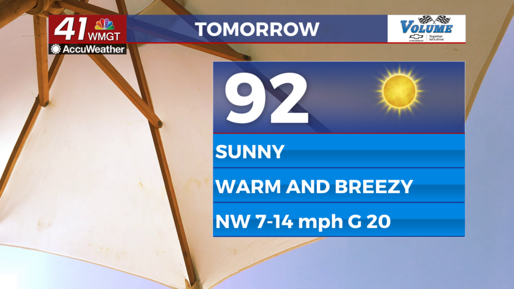
Tomorrow


Tomorrow is First Friday for Middle Georgians and the weather will be sunny and hot. Temperatures will reach into the low to mid 90s and there shouldn’t be much difference between the actual temperatures and the heat indexes. Winds from the northwest gusting over 20 mph will also help to cut the edge off the heat. Cloud cover will be limited to a few scattered cumulus in the afternoon, however, so sunscreen will be a necessity for folk spending time outside.


Overnight skies will be clear as temperatures hover in the upper 70s/lower 80s in the evening before dropping into the upper 50s and lower 60s ahead of Saturday morning. Ambient wind will come from the north-northwest at around 5-10 mph.
This Weekend


Saturday will be mostly sunny and warm with highs reaching the low to mid 90s again, however this time wind will be light and variable. Eventually those winds will resolve out of the south, allowing temperatures on Sunday to climb into the mid to upper 90s. Rain is not expected Saturday, however a few isolated storms will be possible over the back half of Sunday.

Follow Meteorologist Aaron Lowery on Facebook (Aaron Lowery 41NBC) and Twitter (@ALowWX) for weather updates throughout the day. Also, you can watch his forecasts Monday through Friday on 41NBC News at 4, 5, 5:30, 6, and 11 p.m.


