Brutal heat finishes the week in Middle Georgia; rain chances rise this weekend
MACON, Georgia (41NBC/WMGT) – Temperatures will push into the triple digits in a handful of Middle Georgia cities Friday and/or Saturday before rain moves in Sunday.
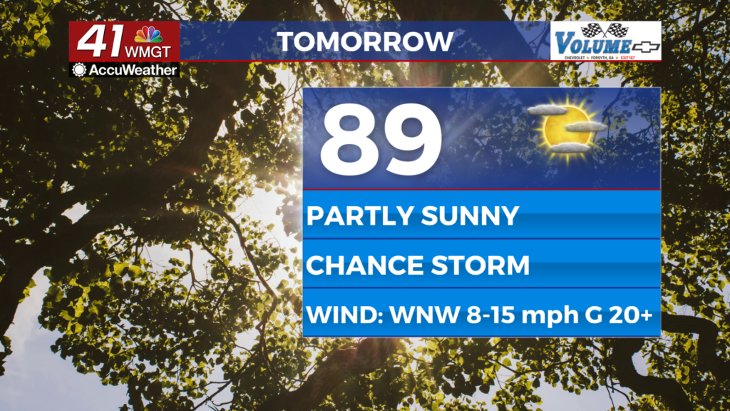
Today
Mostly sunny skies are likely around Middle Georgia again on Friday afternoon with limited opportunities for rain persisting. Winds will be rather gentle out of the north-northwest around 5 mph, so those will also offer little help in beating the heat. Highs will push into the upper 90s and low triple digits this afternoon with most heat indexes ranging from 105 to 110F. If Middle Georgia is to see storms today, it would be during the late afternoon and early evening hours.


An isolated storm could carry into the early parts of tonight, however overnight rain is not anticipated. Partly cloudy skies and low temperatures in the low to mid 70s will carry Middle Georgia into Saturday morning. Overnight winds will be light and variable. Patchy fog will be possible in a few spots early Saturday.
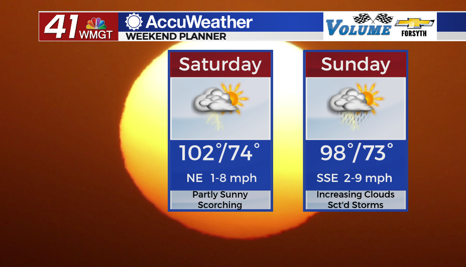
This Weekend
Saturday will be the hottest day of the week with more than half of Middle Georgia expected to eclipse the 100 degree mark in the afternoon. Heat indexes will push towards 110+ in many spots, so an Excessive Heat Warning is not off the table. Partly sunny conditions with a couple of isolated storms are likely throughout the afternoon/evening. Winds will blow from the northeast at around 5 mph, offering little help to cool from the afternoon heat.


Overnight skies will be partly cloudy with lows in the low to mid 70s ahead of Sunday morning.


Sunday won’t be as hot as cloud cover increases more in the afternoon, however highs will still reach into the mid to upper 90s. Scattered storms will fire up over the back half of the day and last into the early parts of the night. A few storms could potentially linger past midnight. Lows will be in the low to mid 70s under mostly cloudy skies ahead of Monday morning.
Tropics Update
Tropical Storm Franklin will likely be upgraded to a hurricane at some point this weekend. Thanks to a storm system over the Midwest and Great Lakes, however, it will not have a US landfall. That land based storm system will steer Franklin east as it continues to move east.

Next week the NHC has highlighted the Gulf of Mexico with a 70% chance for development in the next 7 days. Models are currently taking this potential storm through the northern parts of Florida, potentially grazing the southeastern parts of Georgia. An incoming cold front from the north early next week will bring some rain ahead of that potential tropical system. Depending on where that front is as that system approaches from the south will determine what impacts, if any, Middle Georgia will have.

Follow Meteorologist Aaron Lowery on Facebook (Aaron Lowery 41NBC) and Twitter (@ALowWX) for weather updates throughout the day. Also, you can watch his forecasts Monday through Friday on 41NBC News at Daybreak (5-7 a.m.) and 41Today (11 a.m).