Widespread scattered storms likely Thursday
MACON, Georgia (41NBC/WMGT) –
This Evening and Overnight


Scattered storms are ongoing around Middle Georgia late this afternoon and will continue through the evening and into tonight. Any storms could have some hail or a few wind gusts, however there is no tornado threat. A Level 1 “Marginal” threat for severe weather includes the southern half of the region to account for this. The best window for these hazards will be while the sun is out.


Overnight expect mostly cloudy skies and a couple of lingering storms after midnight. Severe hazards should not linger, however small hail or an isolated gust cannot be ruled out. Low temperatures will be in the lower 60s along with dew points. Calm winds accompanying these conditions will likely lead to fog after the rain earlier in the day.
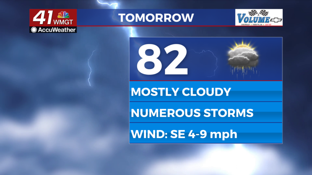
Tomorrow


Even more widespread storms are expected Thursday afternoon and evening. Highs will reach the low to mid 80s before storms begin to fire off. Wind will be light from the southeast at 5-10 mph. As of now there are no severe risk levels issued for Middle Georgia tomorrow, however that does not mean one may not be tomorrow morning. Storms in the afternoon will likely feature some hail and wind gusts, however low wind shear will eliminate the tornado threat once again.


Overnight storms will likely linger with a few possibly sticking around after midnight. Skies will be mostly cloudy with lows expected in the low 60s once again. Wind will be calm from the south-southeast and fog will again be likely.
Friday and Beyond


Rain chances will be more isolated to finish the week, however storms will remain possible into the weekend. Expect temperatures to stay warm for this time of year through the weekend and into next week.

Follow Chief Meteorologist Aaron Lowery on Facebook (Aaron Lowery 41NBC) and Twitter (@ALowWX) for weather updates throughout the day. Also, you can watch his forecasts Monday through Friday on 41NBC News at 4, 5, 5:30, 6, and 11 p.m.


