Wet weather begins the new week
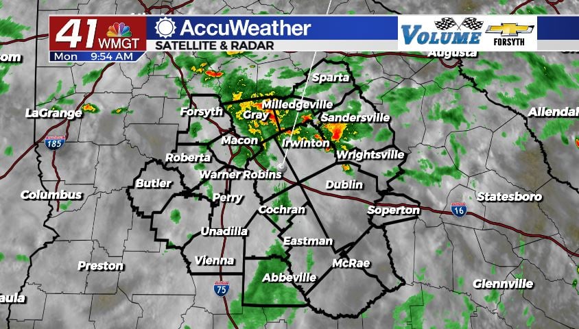
MACON, Georgia (41NBC/WMGT) – Cloudy conditions and widespread showers are likely throughout the day Monday.
Today


It was warm and humid across Middle Georgia to begin the morning. The skies were blanketed by clouds that had filled in overnight, and many of those clouds will be with us throughout the week. There was no rain ahead of the sunrise, but not much later some showers began to fire up. We will see those taper off as we head into the lunchtime hours, and scattered thunderstorms are likely later this afternoon and evening thanks to an approaching cold front.

All of the added cloud cover will allow temperatures to stay lower this week with today likely being the coolest. Highs around Middle Georgia will be in the lower 80s across the board this afternoon. Ambient winds coming out of the west will have little effect on conditions as they will barely be noticeable.


Tonight we will see the thunderstorm activity taper off as we head into the overnight hours, however the overcast skies will persist. After midnight we are likely to see some light showers develop, and there is a decent possibility they will hang around into Tuesday morning. Lows will be in the lower 70s with a couple of spots potentially dropping into the upper 60s.
Tomorrow


The cloudy skies will stick around for Middle Georgia on Tuesday. High temperatures, however, will be a few degrees warmer in the afternoon, heating into the mid 80s around the region. The rain chances will be lower which is the primary reason for warmer conditions. The ambient winds will also shift towards the southwest ahead of tomorrow afternoon as well, coming in at about 5 mph. While they may not be noticeable, they’ll be enough to warm things up just a bit. A couple of isolated thunderstorms will still be possible in the afternoon, however most of Middle Georgia should stay dry.


Tomorrow night the cloudy skies will continue to hang around as evening thunderstorm activity comes to a halt. Like Monday night showers will again be possible around the region after midnight and leading up to the sunrise Wednesday morning. Lows will be in the lower 70s and upper 60s, and ambient winds will blow from the west-southwest at around 5 mph.
Wednesday and Beyond


Wednesday will be very similar to Tuesday as the cloudy conditions stick around but the rain chances remain low. Highs will be in the low to mid 80s around the region with ambient southwest winds blowing in at about 5 mph. A couple of storms will still fire up in the afternoon, but most of the region should stay dry. Overnight showers will also be possible again heading into Thursday morning. Lows will be in the lower 70s and upper 60s.

An approaching system will bring heavy rain to Alabama much of Wednesday, and that rain could make its way into Middle Georgia on Thursday (and potentially Friday too). As a result Thursday and Friday will likely see highs similar to Monday (lower 80s) instead of continuing the slight warming trend. Sunshine should return to some degree over the weekend, allowing temperatures to climb back into the upper 80s and lower 90s.

The tropics nearby are quiet once again with that storm in the gulf becoming an afterthought over the weekend. There is, however, a tropical wave the National Hurricane Center (NHC) is watching off the west coast of Africa. As of now, that wave has a 0% chance to become a tropical system over the next 2 days and a 20% chance over the next 5 days.

Follow Meteorologist Aaron Lowery on Facebook (Aaron Lowery 41NBC) and Twitter (@ALowWX) for weather updates throughout the day. Also, you can watch his forecasts Monday through Friday on 41NBC News at Daybreak (6-7 a.m.) and 41Today (11 a.m).