Wednesday will be even warmer
MACON, Georgia (41NBC/WMGT) – Temperatures will climb into the upper 70s for most of Middle Georgia Wednesday afternoon.
This Evening


A sunny and warm afternoon will become a clear and chilly night across Middle Georgia. It’s been a bit shy of breezy this afternoon as the northwest winds have largely ranged from 5-10 mph with gusts in the 10-15 mph range. These will slow more tonight as they remain out of the northwest. Expect temperatures to bottom out in the lower 40s for most of the region.
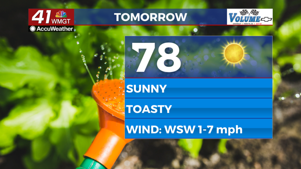
Tomorrow


Wednesday will be similar to Tuesday with one key difference: wind direction. Instead of flowing from the northwest early in the morning a shift will occur with the wind becoming southwesterly again. This will allow most highs in Middle Georgia to reach the upper 70s as skies overhead stay sunny. The warmest spots may touch 80.


Overnight a few clouds are expected ahead of a cold front that will arrive Thursday afternoon. Expect winds to remain southwesterly at about 5-10 mph, gusting upwards of 20 mph. Temperatures will bottom out in the mid to upper 40s across the region.
Thursday and Beyond


A cold front Thursday will bring more clouds as well as a few showers. A rumble of thunder or two cannot be ruled out, however lower humidity values will limit overall rain potential across the region. The wind, however, will become more pronounced in the late afternoon and evening, staying rather strong through the night. Sunny skies will return Friday with the wind slowing in the morning.

Follow Chief Meteorologist Aaron Lowery on Facebook (Aaron Lowery 41NBC) and Twitter (@ALowWX) for weather updates throughout the day. Also, you can watch his forecasts Monday through Friday on 41NBC News at 4, 5, 5:30, 6, and 11 p.m.


