Warming trend continues Wednesday in Middle Georgia
We will be saying goodbye to freezing temperatures through the rest of the week, with highs warming back to the 70s.

We saw the start of our warming trend today in Middle Georgia, with highs getting back to the mid 60s.
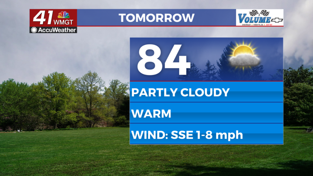
A few high clouds will be hanging around through the day Wednesday, but temperatures will still be pushing into the 70s.
Expect partly cloudy skies through the day.

We will really be cranking the heat through the end of the week as a warm front lifts north.
Southerly winds will start to set up, resulting in an increase in our humidity through the end of the week.
Lows for the rest of the week will be staying mainly in the 50s.

By early Saturday morning, a cold front will move through the area.
This front will bring rain, thunderstorms, and some breezy conditions.
A few storms could be strong, but right now the best dynamics for severe weather will be to our west.
Saturday won’t be a total rainout, as rain should be leaving the area by the afternoon.

Sunday will be a bit of a different story with rain moving in during the late morning and hanging around through the day.
Highs Sunday, even with the rain, will still be warming into the 80s.

Looking ahead to next week, rain is going to be sticking around for a bit.
Our next cold front will move through Tuesday, dropping our highs back to around normal.


