Warmer temperatures and more clouds likely Tuesday ahead of overnight storms
MACON, Georgia (41NBC/WMGT) – Tuesday will see warm and muggy conditions ahead of a cold front that will bring thunderstorms leading into Wednesday morning.’
This Evening


Skies will remain mostly cloudy with most of the clouds being high level cirrus clouds. Still, plenty of cumulus clouds will linger into the night as well. Winds will continue to come from the southwest at around 5-12 mph, gusting around 15 mph. Temperatures will bottom out in the lower 60s ahead of Tuesday morning.
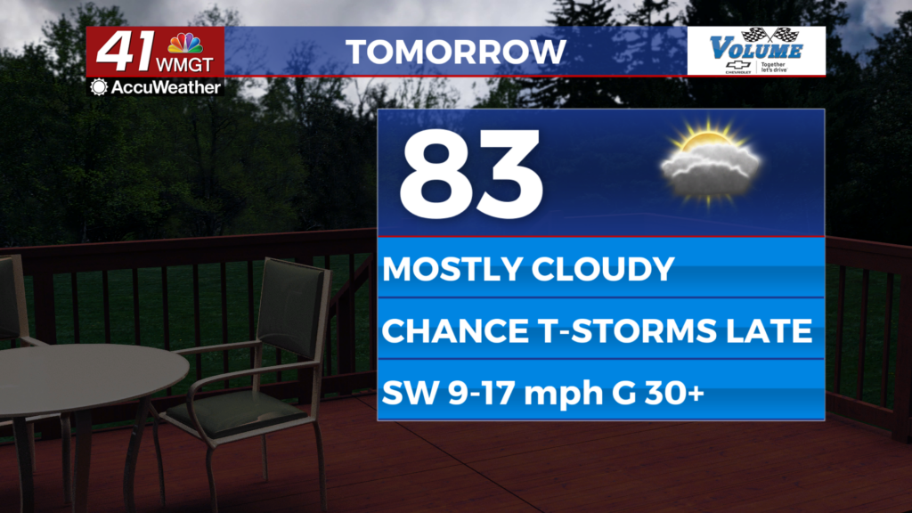
Tomorrow


Another mostly cloudy day is likely, however winds will be more pronounced (SW 10-20 mph, gusting over 30 mph) and a couple of showers or an isolated storm will be possible in the evening. Highs will reach the low to mid 80s with dew points rising into the mid to upper 60s.


Overnight is when the cold front will begin to enter Middle Georgia, however that likely will not be until after midnight. Storms could be strong to severe; the SPC has issued a Level 2 “Slight” risk that includes most of the region. The primary threats will be strong winds, some hail, or a brief tornado or two. Given that the line of storms will be moving in during the coolest part of the day some of these risks could be mitigated, however Middle Georgians need to remain weather aware.


Outside of overnight storms conditions will be windy (SSW 10-25 mph G 35+) and warm as lows only dip into the mid 60s around the region. Storms will more than likely carry into the sunrise hours of Wednesday.
Wednesday and Beyond


Storms will likely be ongoing somewhere over the southern half of the region as the sun rises Wednesday morning. Conditions will work to clear throughout the day as the wind shifts to the west at 10-20 mph, gusting upwards of 40 mph. Thursday will be sunny until the late afternoon when some low-level clouds creep into the northern parts of Middle Georgia. Winds will remain strong Thursday before calming some Friday and even more over the weekend.

Follow Meteorologist Aaron Lowery on Facebook (Aaron Lowery 41NBC) and Twitter (@ALowWX) for weather updates throughout the day. Also, you can watch his forecasts Monday through Friday on 41NBC News at 4, 5, 5:30, 6, and 11 p.m.