Warm weather kicks off the new week in Middle Georgia
MACON, Georgia (41NBC/WMGT) – A warm start to the week in Middle Georgia will be followed by a blast of fall weather.
Today

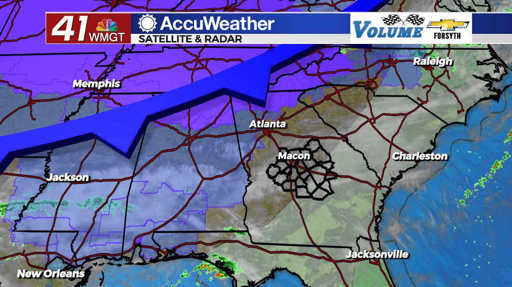
Our Monday around Middle Georgia will be the warmest day of the week. It will also be the cloudiest. The blanket of clouds much of the region has woken up to will steadily clear throughout the day. A cold front will pass through the region this afternoon, and while it’s rain chances are low, it is going to bring plenty of wind as well as cold temperatures. If we do see any rain in Middle Georgia today it will only be an isolated thunderstorm or two. The highest probability for storm activity is in the southeastern counties.


As for today’s winds, sustained speeds will blow from the west at 8-15 mph. Gusts could reach over 20 mph at times around the region. As the cold front passes those winds will begin to shift more to the north. The skies will also clear a lot more during the back half of the day. High temperatures will be in the lower 80s across Middle Georgia this afternoon.


Tonight we can expect clear and chilly conditions. The wind will blow from the northwest at 7-12 mph, and gusts could still reach speeds of up to 20 mph. Those winds will provide plenty of chill heading into Tuesday morning, and overnight low temperatures will be in the lower 40s. Expect wind chills in the upper 30s and lower 40s out the door tomorrow morning.
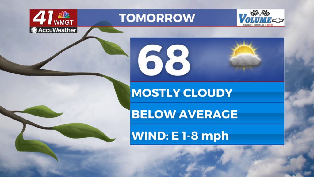
Tomorrow


Tuesday will be the coolest afternoon of the week in Middle Georgia. We will not see very much cloud cover at all (if any), however there will still be plenty of wind. North-northwest winds will blow into the region at 8-14 mph and gusts will again likely top off at speeds over 20 mph. High temperatures will only climb into the upper 50s and lower 60s, however afternoon wind chills will be in the mid to upper 5os across the board.


Tomorrow night it will get cold around the region. The north-northwest winds will continue, however the speed will back off to 5-11 mph with gusts up to about 15 mph. Skies overhead will remain clear as temperatures plummet into the mid 30s around the region ahead of Wednesday morning.
The Rest of the Week

We will keep the stable airmass over the Southeastern U. S. as high pressure moves into the area behind the cold front. There will not be as much wind the rest of the week and temperatures will begin to rebound, likely reaching the 70s again by Friday. The nights will be cold throughout the week with Wednesday night being the coldest. Heading into Thursday morning some spots in Middle Georgia may be flirting with the freezing point. Warmer low temperatures will return over the weekend as humidity begins to fill back in a bit.

Follow Meteorologist Aaron Lowery on Facebook (Aaron Lowery 41NBC) and Twitter (@ALowWX) for weather updates throughout the day. Also, you can watch his forecasts Monday through Friday on 41NBC News at Daybreak (6-7 a.m.) and 41Today (11 a.m).