Warm and wet pattern to take over Middle Georgia
MACON, Georgia (41NBC/WMGT) – Warmer and more humid conditions will take over the Peach State following the bitterly cold weekend.
The Rest of the Evening


Middle Georgia has seen temperatures rebound quickly today following a bitterly cold weekend. While there has been a healthy dose of sun to accompany that, cloud cover will continue to fill in throughout the evening and into tonight. Some isolated rain showers are possible after midnight with a couple potentially lingering into the start of Tuesday. Overnight winds will come from the east at about 5-10 mph with low temperatures falling into the upper 30s and lower 40s.
Tomorrow


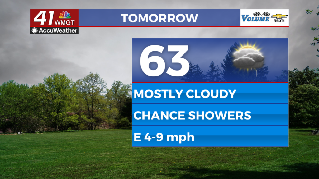
Mostly cloudy to overcast conditions are likely throughout the day on Tuesday, however shower chances will be rather limited. High temperatures will reach the low to mid 60s during the afternoon with winds from the east remaining at 5-10 mph.


Rain chances will remain low overnight while skies remain overcast. Temperatures will drop into the low to mid 50s with wind coming from the east at around 5-10 mph.
Wednesday and Beyond


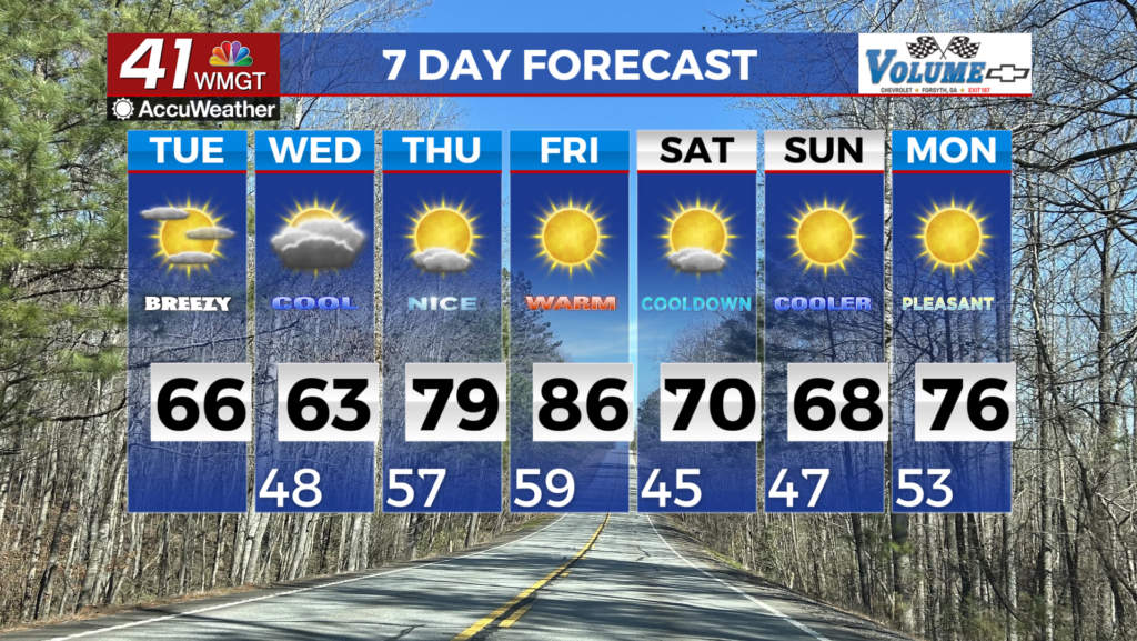
Rain odds will begin to climb more Wednesday, especially over the back half of the day. Temperatures will be in the 70s during the afternoon through basically the rest of the week with rain odds becoming more widespread Thursday and Friday. Finally, a cold front arriving Saturday will likely bring in thunderstorms before stronger winds and cooler conditions take over Sunday.

Follow Meteorologist Aaron Lowery on Facebook (Aaron Lowery 41NBC) and Twitter (@ALowWX) for weather updates throughout the day. Also, you can watch his forecasts Monday through Friday on 41NBC News at 4, 5, 5:30, 6, and 11 PM.