Tuesday to bring highest rain odds for the week
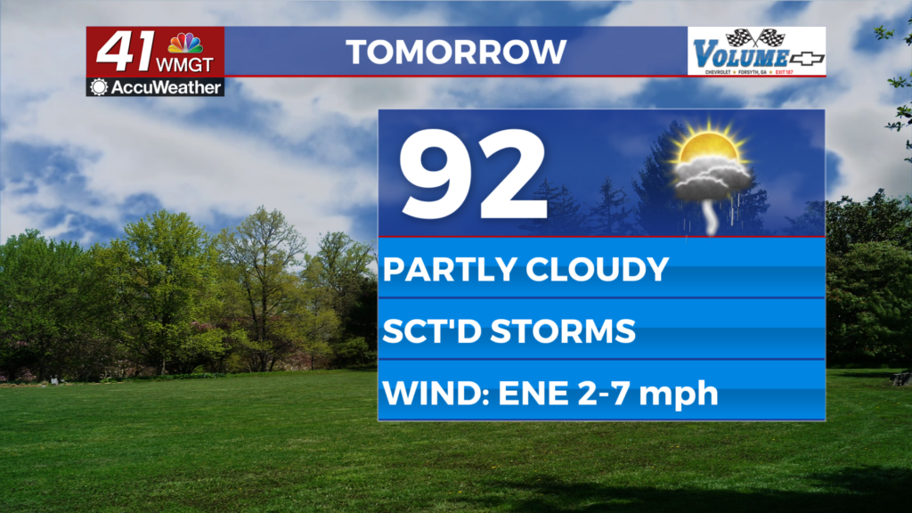
MACON, Georgia (41NBC/WMGT) – Scattered showers and storms are likely over the back half of the day on Tuesday as a low pressure system moves through the southeastern US.
This Evening


The week is off to another hot start as Middle Georgia again saw temperatures in the 90s throughout the afternoon under partly sunny skies. A few showers and a storm remain possible through the evening and into tonight. Skies should be partly cloudy with lows hovering around 70 degrees, or close to 7 above normal for this time of year. The wind will be light and variable.
Tomorrow


Another partly cloudy and hot day is likely Tuesday as again temperatures are expected to eclipse 90 degrees. Heat index values are expected to reach the mid-upper 90s once again. Ambient wind will be light out of the east-northeast. Storm odds should peak in the late afternoon and evening around Middle Georgia. Severe weather is overall not expected however the northern counties of Middle Georgia could find themselves under a Level 1 “Marginal” threat for severe storms by tomorrow afternoon. The hazard would be a couple of damaging wind gusts.


Overnight will be mostly cloudy and again rather warm as temperatures only get down into the lower 70s and upper 60s. The wind will be light out of the northeast. Some fog may be possible into Wednesday morning as well.
Wednesday and Beyond


A few showers will be possible again Wednesday afternoon but overall a mostly cloudy day is expected around the region. A cooling trend will also begin Wednesday as highs only reach the mid-upper 80s and lows start dropping into the mid 60s by Thursday morning. But even cooler conditions look likely for the upcoming weekend as highs fall into the lower 80s and lows into the lower 50s!! Expect things be a bit gusty late this week as those cooler conditions move in.

Follow Chief Meteorologist Aaron Lowery on Facebook (Aaron Lowery 41NBC) and X (@ALowWX) for weather updates throughout the day. Also, you can watch his forecasts Monday through Friday on 41NBC News at 4, 5, 5:30, 6, and 11 p.m.