Temperatures will cool a bit to finish the week
MACON, Georgia (41NBC/WMGT) – After a few days in the mid to upper 70s some spots may be back in the 60s Friday afternoon.
The Rest of the Evening
What started as a sunny day became cloudier through the lunchtime hours and into the afternoon. Rain odds have not really come through for Middle Georgia thanks to a lack of overall moisture in the atmosphere, however one or two stray showers remains possible through suppertime. Clouds from the afternoon will clear not long after sunset, making for a clear night the rest of the way. Expect low temperatures in the low to mid 40s with wind out of the northwest ranging from 5-12 mph, gusting to about 20 mph.
Tomorrow
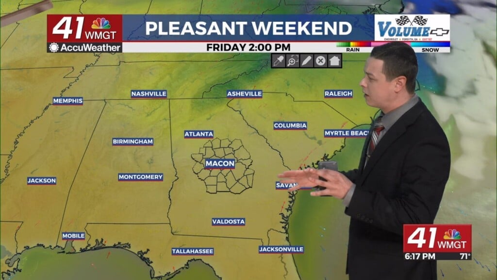
Friday will be sunny and a bit cooler as a result of Thursday’s cold front passage. Highs will reach the upper 60s and lower 70s with wind flowing from the west at 5-10 mph, gusting to around 17 mph during the afternoon.
Overnight will be clear with lows mainly expected in the lower 40s. Wind will flow from the west-southwest at 5-10 mph.
This Weekend
Saturday will be warm and breezy with highs in the mid 70s accompanied by westerly winds of 7-15 mph. Gusts will likely hover around 25 mph. This is thanks to a second cold front moving through the Peach State. Sunday will be cooler as a result with highs expected in the upper 50s and lower 60s. Wind will be out of the north at around 5 mph. Overnight lows will dip back towards the low to mid 30s leading into Monday morning.
Follow Chief Meteorologist Aaron Lowery on Facebook (Aaron Lowery 41NBC) and Twitter (@ALowWX) for weather updates throughout the day. Also, you can watch his forecasts Monday through Friday on 41NBC News at 4, 5, 5:30, 6, and 11 p.m.


