Temperatures should be around average Thursday
MACON, Georgia (41NBC/WMGT) – A shift in the wind direction will allow more heat and humidity to move back into the Peach State leading up to the weekend.
This Evening


A mostly sunny afternoon across Middle Georgia will lead to a clear night. The wind will begin to shift direction during the late evening with overnight wind expected out of the south-southeast around 5 mph. By tomorrow morning, however, it will likely start to become more southwesterly. Lows will be in the low to mid 60s around the region. Fog will be possible as a result of the shift in wind direction as well.
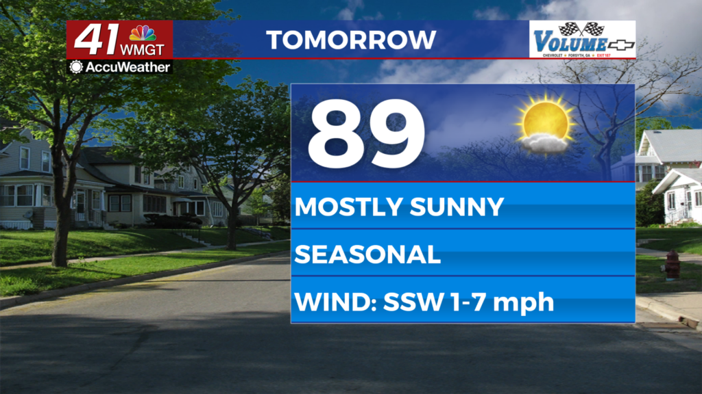
Tomorrow


A few more clouds are likely as dew points should return into the mid to upper 60s around the region thanks to wind from the south-southwest at around 5 mph. Highs will reach the upper 80s and lower 80s, or around average for this time of year. A stray shower cannot be ruled out however most of the region will see no rain.


Overnight expect light and variable wind under mostly clear skies. Lows will largely be in the mid to upper 60s, or around 2-5 degrees below average for this time of year. Fog will be even more likely than Wednesday night thanks to the variable winds.
Friday and the Weekend


Temperatures will be above average beginning Friday and will likely stay that way through the weekend. While the sun will overall be dominant by Sunday things should be leaning partly cloudy with the possibility for a few isolated storms. More storms will be possible Monday of next week as a cold front moves in from the northwest.
The Tropics

There is now an 80% chance for development into a tropical depression for the wave being monitored in the eastern Atlantic Ocean. The odds are 40% for development within the next 48 hours. This system will warrant watching from the Caribbean as well as the US East Coast over the next week.

Follow Chief Meteorologist Aaron Lowery on Facebook (Aaron Lowery 41NBC) and Twitter (@ALowWX) for weather updates throughout the day. Also, you can watch his forecasts Monday through Friday on 41NBC News at 4, 5, 5:30, 6, and 11 p.m.