Temperatures rise more Wednesday
MACON, Georgia (41NBC/WMGT) – Highs should reach into the mid to upper 80s Wednesday afternoon.
This Evening


A partly cloudy afternoon may see a few isolated storms develop through the evening and into early tonight. Expect wind to remain pretty calm from the south-southeast. Low temperatures will be in the lower 60s and upper 50s. Any storms that do pop up in the evening should clear out not long after midnight. Patchy fog will be possible ahead of Wednesday morning.
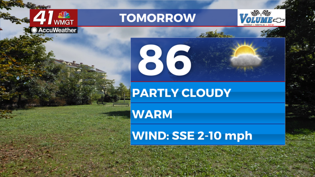
Tomorrow


It should get a bit warmer Wednesday afternoon as skies will be plenty sunny early before scattered clouds fill in during the afternoon. Storm odds will be rather low but one or two cannot be ruled out. Highs will reach the mid to upper 80s with wind from the south-southeast ranging from 1-10 mph.


Overnight will feature scattered cirrus clouds and an off chance for a shower early. It will remain warm and muggy with lows expected in the upper 50s and lower 60s once again. Fog will also be possible.
Thursday and Beyond


Thursday will start to see increased rain odds as a cold front begins to approach the Peach State, however that front likely will not arrive until Friday/Saturday. Storm odds will be increased as the front moves through for the first couple days of May. Following the frontal passage temperatures and humidity will take a slight dip.

Follow Chief Meteorologist Aaron Lowery on Facebook (Aaron Lowery 41NBC) and Twitter (@ALowWX) for weather updates throughout the day. Also, you can watch his forecasts Monday through Friday on 41NBC News at 4, 5, 5:30, 6, and 11 p.m.