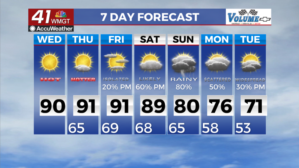

Temperatures reach their peaks for the work week Friday
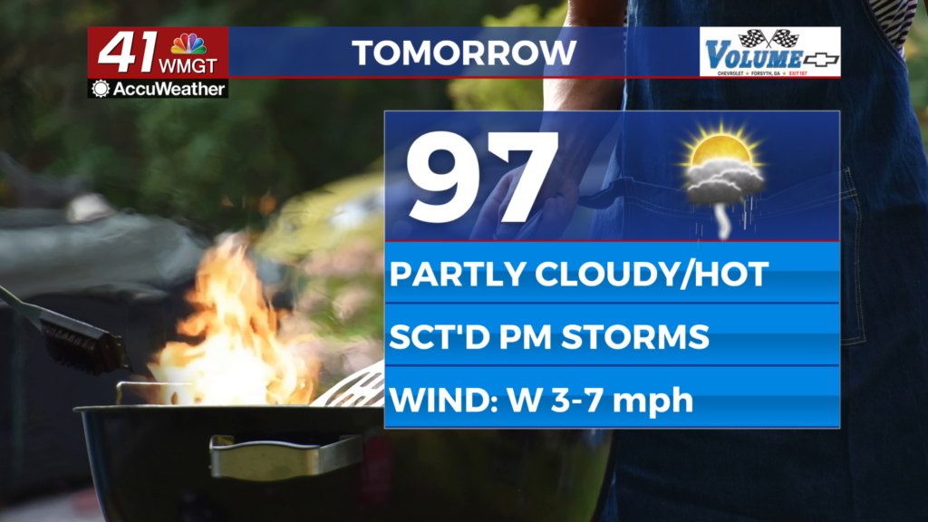
MACON, Georgia (41NBC/WMGT) – High temperatures will reach the upper 90s around Middle Georgia Friday as another round of storms takes over in the afternoon.
This Evening
Isolated storms will continue around Middle Georgia under mostly cloudy skies. A couple of showers may linger early tonight. It will be a warm and muggy night with temperatures dropping into the mid 70s across the region. The wind will be light out of the west with some fog possible heading into the sunrise tomorrow.
Tomorrow
Friday should be the hottest afternoon of the week across Middle Georgia as temperatures push towards 100 degrees with most heat indexes eclipsing 105. Another Heat Advisory is likely Friday to account for this. As for storms around half of the region will see rain Friday afternoon and evening with the most intense storms bringing heavy rain and possibly a couple of damaging wind gusts.


Overnight will be muggy and partly cloudy with temperatures reaching their valleys in the mid 70s. More fog will be possible heading into Saturday morning. The ambient wind will remain light out of the west.
This Weekend and Beyond
The heat will likely get a bit worse this weekend with triple digit high temperatures possible around Middle Georgia. Expect Heat Advisories to continue through the weekend. Scattered afternoon and evening storms will remain possible as well. Even hotter conditions are still expected to begin the new work week.
Watching the Tropics
Cristobal has already lost its Tropical Storm status and its remnants will drift towards Europe in the coming days. The area of concern with 80% odds to develop has actually weakened and now has 60% odds to become a depression within the next 7 days. The 48 hour formation odds for this system have dropped down to 30%. Behind it another system still has development odds of 50% over the next 7 days with 30% odds over the next 48 hours as well.

Follow Chief Meteorologist Aaron Lowery on Facebook (Aaron Lowery 41NBC) and X (@ALowWX) for weather updates throughout the day. Also, you can watch his forecasts Monday through Friday on 41NBC News at 4, 5, 5:30, 6, and 11 p.m.