Temperatures climb more Wednesday
MACON, Georgia (41NBC/WMGT) – Middle Georgia will continue to see temperatures rise as a summer pattern takes over the Peach State
This Evening


Scattered cumulus clouds from the afternoon will largely clear out heading into tonight, however cirrus clouds are expected to move in during the overnight hours. It will be around average for our overnight lows around the region as the hang in the lower 60s. Winds will be rather gentle out of the south-southeast at around 5 mph. The Moon will also be near full tonight. It’s the full “Flower” moon, named due to all of the flora that bloom during the month of May.
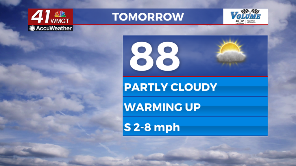
Tomorrow


It will be a partly to mostly cloudy start before a bit more sun arrives in the afternoon. Highs will largely reach the upper 80s although a 90 or two cannot be ruled out. Ambient winds will be out of the south at around 5 mph. Rain odds will remain low, but a stray shower or thunderstorm also cannot be ruled out over the warmer parts of the day.


Overnight expect scattered clouds with low temperatures in the mid to upper 60s. Winds will remain out of the south.
Thursday and Beyond


Highs will keep climbing as more parts of Middle Georgia inch towards the 90s on Thursday. By this weekend almost all of the region will be seeing 90s in the afternoon with overnight lows in the upper 60s and lower 70s. Partly cloudy skies will be likely both during the day and overnight. Isolated storm chances will also climb more heading into the weekend and even more early next week.

Follow Meteorologist Aaron Lowery on Facebook (Aaron Lowery 41NBC) and Twitter (@ALowWX) for weather updates throughout the day. Also, you can watch his forecasts Monday through Friday on 41NBC News at 4, 5, 5:30, 6, and 11 p.m.


