


Sunshine returns to kick off the second full week of December
MACON, Georgia. (41NBC/WMGT) – After a week of clouds and rain, the sunshine is back across the Peach State.
Today
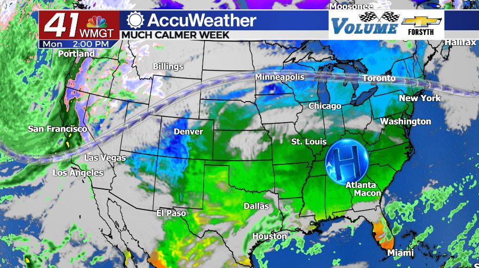
Pleasant weather returned to Georgia over the weekend after a powerful storm system pushed through Friday and Saturday, bringing tornadoes to the Midwest and Dixie Valley but sparing Georgia. A ridging pattern in the jet stream and high pressure have replaced the low pressure and trough, allowing pleasant conditions to return. Temperatures have cooled off in response to the cold front with highs returning back to the 60s. Our highs today around Middle GA will be in the low to mid 60s, which is still above average for December. Winds will primarily remain out of the north early this week as well, helping to keep things cool. Lows overnight tonight will fall into the mid to upper 30s, largely due to clear skies and winds out of the north-northeast. Some patchy fog may fill in around the region heading into Tuesday morning.
Tomorrow
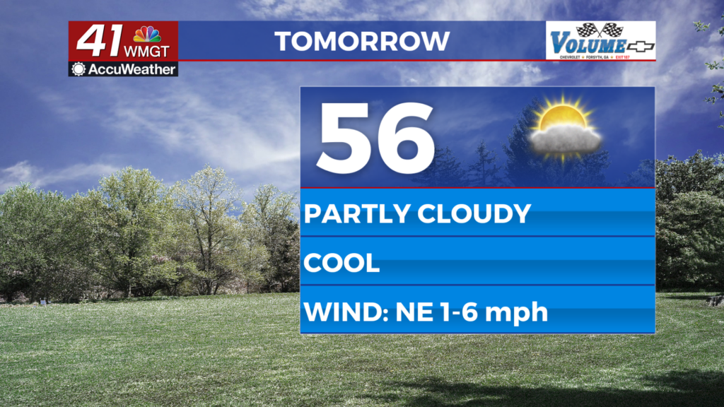
There isn’t going to be much difference between today and tomorrow other than slightly warmer temperatures and a few more clouds. Winds will blow from the east-northeast at around 5 mph Tuesday afternoon with highs in the mid to upper 60s. A few more clouds will fill in, especially with a weak system to the south. Middle GA should remain dry, but if anywhere sees rain it will be the southern counties such as Wheeler or Telfair.
The HRRR model is hinting at scattered light rain showers around Middle GA overnight tomorrow night, however it is typically over-aggressive with rain in terms of showers and more than likely we will stay dry. The winds will continue to blow out of the northeast tomorrow night and a few clouds will fill in, however. The cloud cover will be enough to warm lows around the region into the low 40s heading into Wednesday.
Wednesday and Beyond
The ridge in the jet stream will begin to break down as we move into the middle and back half of the week. The next storm system will form off to the west near the Rockies on Wednesday as well, but it will be some time before it affects us in Georgia. Cloud cover well ahead of it will begin to move into the Peach State on Wednesday; these will primarily be high level clouds but some mid level may move in too. Highs will reach the upper 60s for most Middle GA cities but a couple may crack the 70 degree mark. Winds will still be blowing out of the east-northeast under mostly sunny skies, even with the added cloud cover.

Thursday will finally see an even amount of sun and clouds if not more clouds than sun. Highs will reach the low to mid 70s around the region as the winds finally shift from the northeast to the south-southeast. Rain chances will also return Thursday afternoon, through only in the form of a few isolated showers. Overnight lows will jump into the upper 40s and lower 50s around the region.

Follow Meteorologist Aaron Lowery on Facebook (Aaron Lowery 41NBC) and Twitter (@ALowWX) for weather updates throughout the day. Also, you can watch his forecasts Monday through Friday on 41NBC News at Daybreak (6-7 a.m.) and 41Today (11 a.m).


Leave a Reply