Sunny skies take over Tuesday afternoon
MACON, Georgia (41NBC/WMGT) – High pressure over the southeast will keep the skies clear around the Peach State this afternoon.
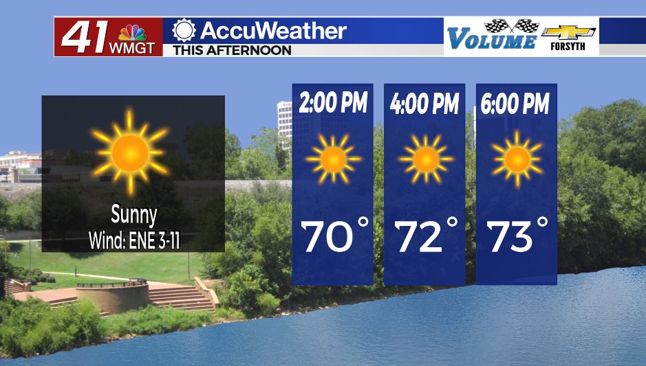
Today


Save for a few stratocumulus clouds around the sunrise Middle Georgia has seen clear skies all morning. That trend will remain this afternoon as temperatures rise up into the low to mid 70s. Ambient winds will blow from the east-northeast at about 5-12 mph with gusts ranging from 15-20 mph. The UV index this afternoon for Macon is 7.4, meaning it will take approximately 30 minutes (on average) of sun exposure before the skin begins to burn.


Skies will remain mostly clear tonight as the winds back off to around 5 mph. Temperatures will bottom out in the low to mid 40s for most of the region. Fog is unlikely heading into Wednesday morning, however a few areas of patchy fog cannot be ruled out given the calm and clear conditions.
Tomorrow


Wednesday will be a mostly sunny and warm day once again. Temperatures will peak in the mid to upper 70s as the wind finally breaks out of the northeastern flow, shifting to the east in the afternoon and towards the southeast heading into the evening. They will be a little breezy as well: sustained speeds will fall in the 5-12 mph range with gusts again in the 15-20 mph range. Cloud cover will begin to move into the region from the south as the winds shift more towards the southeast. Initial cloud cover will be thin cirrus clouds, however some southern Middle Georgia counties could see some mid-level clouds move in ahead of the sunset. Rain is not during the daylight hours Wednesady.


Cloud cover will continue to thicken overnight with the chance for some rain rising leading up to Thursday morning, especially in the southwestern counties. Temperatures will bottom out in the mid 50s as warm and moist air fills in from the southeast. Fog is unlikely leading into Thursday morning as well thanks to consistent winds overnight.
Thursday and Beyond


Thursday will not be as pleasant around Middle Georgia. A gulf low will be taking on the form of a small tropical storm (it will NOT bring winds anywhere close to that magnitude to Louisiana where it is located, much less to Middle Georgia), and the outer “rain bands” will be impacting Middle Georgia. More than likely these will just be a few rounds of heavy rain and thunder during the afternoon and evening, however when it comes to tropical systems the rain bands is where “severe weather” (brief tornadoes) are most likely to occur. The SPC has issued a Level 1 “Marginal” risk for the southwestern two thirds of Middle Georgia to account for this.

Storms will move from southeast to northwest around the low which is different than our typical threats. Hail will not occur with this system, however a couple of strong wind gusts will be possible along with localized flash flooding. The increased cloud cover and rain will keep temperatures in the low to mid 70s around Middle Georgia. Rain should slow overnight as the system weakens.
Friday could see a few lingering isolated thunderstorms, however no severe risk should be posed by these. A cold front Sunday could bring a more organized threat for thunderstorms to Middle Georgia, however with the associated low likely being over/north of the Great Lakes the overall dynamics will be weak for the Peach State.

Follow Meteorologist Aaron Lowery on Facebook (Aaron Lowery 41NBC) and Twitter (@ALowWX) for weather updates throughout the day. Also, you can watch his forecasts Monday through Friday on 41NBC News at Daybreak (5-7 a.m.) and 41Today (11 a.m).