Strong to severe storms possible tonight and tomorrow
MACON, Georgia (41NBC/WMGT) – Storms this evening and tomorrow could bring strong winds, hail, or even a brief tornado.
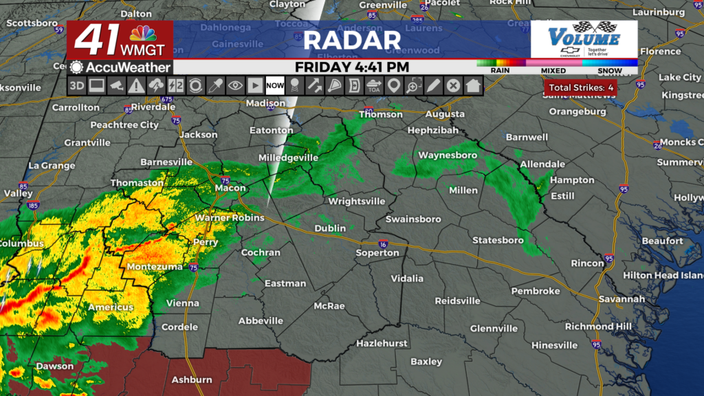
This Evening


Much of Middle Georgia has seen stratiform rainfall since this morning. That has helped many parts of the region limit the sever potential this evening, however the southern counties still have the highest risk. They are under a Level 2 “Slight” risk. The strongest storms this evening will likely roll through during the suppertime hours. Primary risks will be strong winds and hail, but a brief tornado cannot be ruled out. Fortunately, Middle Georgia counties just missed being included in the Tornado Watch that has been issued to the south (that watch is in effect until 11 PM tonight).


Storm intensity will dwindle into the overnight hours, however a few showers or perhaps a thunderstorm will persist. Expect overcast skies with low temperatures in the upper 60s and lower 70s. Overnight winds will largely come from the south-southwest at about 5-15 mph. Gusts could reach as high as 20-25 mph outside of storms.
Tomorrow


Saturday will bring the most widespread storm chances as the cold front looks to move through the region in the evening and overnight. Ahead of that cold front’s passage is where severe threats will be highest, likely between 10 AM and 2 PM tomorrow afternoon. A Level 2 “Slight” risk includes most of Middle Georgia with the driving threat being straight line winds. Hail will be possible, however, and a brief spin-up tornado cannot be ruled out.


It will be a cloudy day to accompany these storms with highs likely only reaching the upper 70s and lower 80s for the region. Winds will predominantly come from the southwest at about 5-15 mph, gusting over 20 mph outside of storms.


Overnight skies will remain mostly cloudy as the winds shift more towards the west. Expect low temperatures in the mid to upper 60s ahead of Sunday morning.
Sunday and Beyond


Sunday will be a mostly cloudy day with scattered showers and storms likely in the afternoon, especially for the eastern half of the region. No severe weather is expected, however ambient winds behind the cold front will likely be breezy from the west-northwest. Highs will likely reach the upper 70s and lower 80s again around the region in the afternoon.

Monday will be partly cloudy and below average before sunshine returns Tuesday, warming temperatures to a more seasonable range.

Follow Meteorologist Aaron Lowery on Facebook (Aaron Lowery 41NBC) and Twitter (@ALowWX) for weather updates throughout the day. Also, you can watch his forecasts Monday through Friday on 41NBC News at 4, 5, 5:30, 6, and 11 p.m.