Strong to severe storms are possible around Middle Georgia today
MACON, Georgia (41NBC/WMGT) – A cold front moving through Middle Georgia today could bring some strong to severe storms with it.
Today


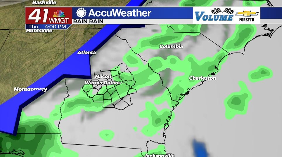
It was a very warm morning as the region kicked off Thursday under a blanket of clouds with temperatures in the mid 60s. The clouds will hang around most of the day, not clearing until after the cold front has passed. The cold front will bring some storms to Middle Georgia this afternoon. While nothing crazy is expected, there is still the possibility that one or two of the storms become strong to severe. Highs this afternoon will be in the upper 70s and lower 80s, which is typical ahead of a stormy afternoon. The primary risk for the region is some strong wind gusts, however the possibility for hail or even a brief spin-up tornado cannot be ruled out. Cloud cover will likely begin to clear in the northwestern counties today around dinnertime as the front pushes into the southern counties.


Tonight we will see clear skies take back over for most of Middle Georgia as the cold front leaves the area. The wind will shift from the southwest to the north-northwest at 5-10 mph, bringing cool and dry air into the region instead of warm and moist air. By tomorrow morning, the only counties that should still be seeing clouds will be Wheeler, Telfair, and maybe Treutlen. Forecast lows around the region will mainly be in the lower 50s.
Tomorrow


The sunshine will return for all of Middle Georgia tomorrow, and it will stick around all day. Highs will primarily be in the lower 80s with a few spots still hanging on to the upper 70s. Winds will primarily blow in from the east at 7-12 mph as they shift from the northeast to the southeast. Gusts could reach up to 20 mph. The southeasterly flow heading into the overnight hours will immediately begin to return moisture to the Georgia atmosphere, preventing it from fully clearing from early in the week.


Cloud cover will rapidly build once the sun sets, and there is a 30% chance for some showers to move into the region ahead of the sunrise on Saturday. Winds will blow in from the southeast at 5-10 mph. Low temperatures will bottom out in the upper 50s and lower 60s.
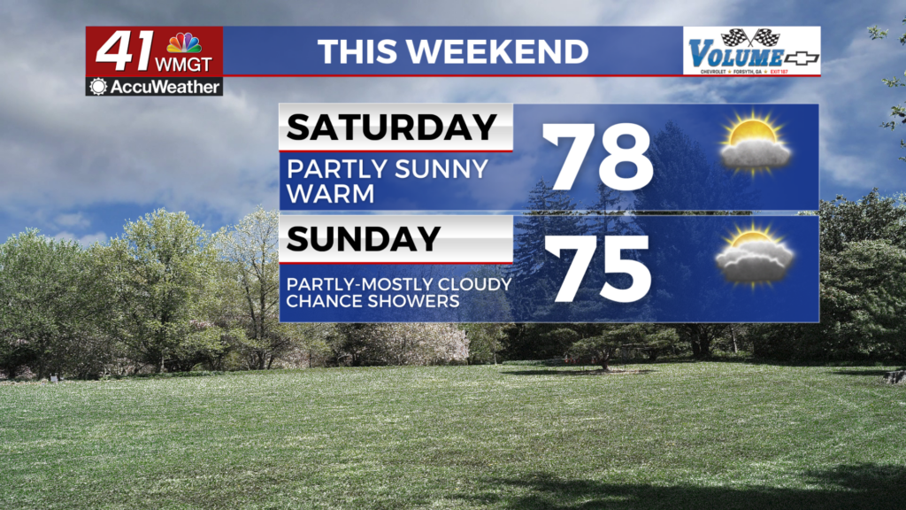
Easter Weekend


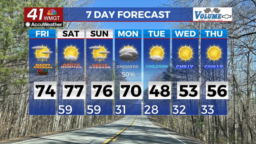
The conditions for Easter weekend are looking to be opposite of what we would like them to be. Scattered storms are likely both Saturday and Sunday afternoons. Both days will see highs in the upper 70s and lower 80s. Both days will see cloud cover dominate. There is also likely to be little to no chance for severe weather as the jet stream takes on a zonal (east-west) flow. This limits the amount of warm and cool air being injected into the system by northerly or southerly winds, keeping the dynamics of the system at bay. While this is overall good news, the fact that storms are likely during the afternoon hours on Sunday is less than optimal for egg hunters.
Showers are likely to persist into Monday morning. Sunny skies look to take back over after clouds clear Monday afternoon. We should then see the sun stick around for a few days during the middle of next week.

Follow Meteorologist Aaron Lowery on Facebook (Aaron Lowery 41NBC) and Twitter (@ALowWX) for weather updates throughout the day. Also, you can watch his forecasts Monday through Friday on 41NBC News at Daybreak (6-7 a.m.) and 41Today (11 a.m).