Staying hot and humid Friday
MACON, Georgia (41NBC/WMGT) –
This Evening


A cloudy morning is becoming a sunny evening once again across Middle Georgia. Another warm night is expected with temperatures that will only drop into the mid to upper 60s. Expect wind from the south at 5-10 mph, so some fog will again be possible under partly cloudy skies. A stray shower cannot be ruled out this evening either, however rain activity will overall be on the back-burner still.
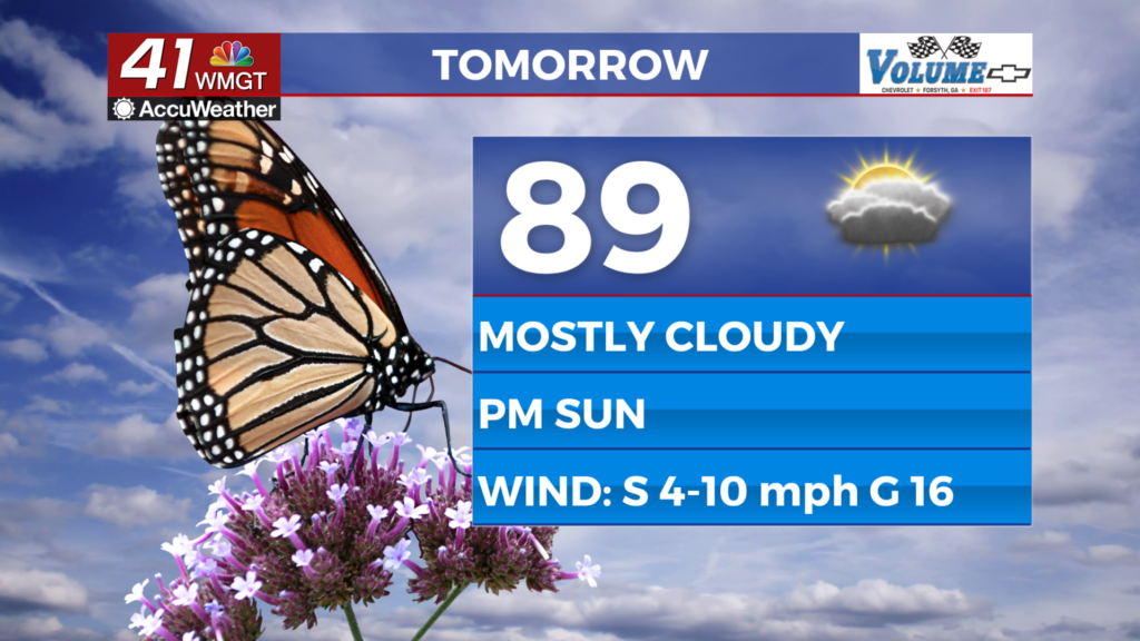
Tomorrow


Friday will be similar to Wednesday and Thursday with perhaps a bit more heat. Expect fog early with mostly cloudy skies lasting into lunchtime before some clearing occurs in the late afternoon and evening. A stray shower or storm will be possible. Wind will flow from the south at 5-12 mph, gusting to around 17 mph.


Overnight will be partly to mostly cloudy with lows expected in the mid 60s. Wind will remain out of the south at 5-10 mph and fog will be likely again ahead of Saturday morning.
This Weekend and Beyond


Partly cloudy skies are likely Saturday with highs that will push towards 90 degrees. A stray shower or two will be possible. Wind will be a bit breezier from the south-southwest at 5-15 mph as gusts range 20-25 mph.


Sunday will be cloudier with more wind out of the south as the cold front that has been stalled to the northwest finally advances into the Peach State. Rain will likely hold off until the overnight hours, possibly even into Monday after sunrise for some spots. Temperatures will be below average following the passage of said front.

Follow Chief Meteorologist Aaron Lowery on Facebook (Aaron Lowery 41NBC) and Twitter (@ALowWX) for weather updates throughout the day. Also, you can watch his forecasts Monday through Friday on 41NBC News at 4, 5, 5:30, 6, and 11 p.m.


