Starting to cool again Tuesday
MACON, Georgia (41NBC/WMGT) – Temperatures will return to the 70s Tuesday after being in the 80s to begin the week.
This Evening


Strong breezes have been present around the Peach State this afternoon courtesy of a cold front passing through. Skies have also been rather sunny. While the afternoon was a bit warm with much of the region climbing into the 80s, it will be a cool evening and a chilly night. Temperatures should drop into the 60s between 7-8 pm, and lows will drop into the mid to upper 40s. Wind will continue out of the northwest tonight at 5-10 mph, gusting upwards of 15 mph.
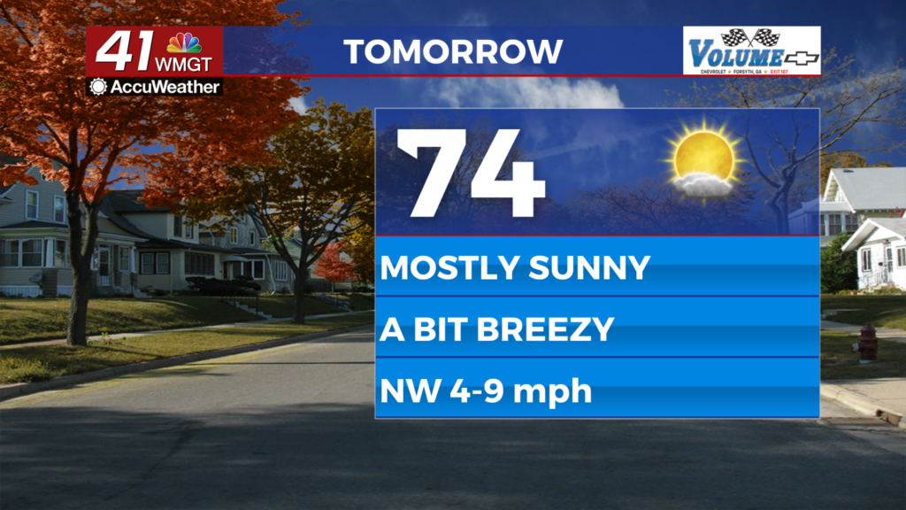
Tomorrow


It will be a chilly start and an extra layer is recommended with temperatures out the door expected to be in the mid to upper 40s. It will be a lovely afternoon with highs climbing into the low to mid 7os. The accompanying wind will blow from the northwest at 5-10 mph, gusting into the 15-20 mph range. A few cirrus clouds are likely to pass over the region in the afternoon and evening.


The aforementioned clouds will linger into the night before clearing out to the south around midnight or shortly thereafter. Low temperatures will be well below average as they dip into the lower 40s. Wind will be out of the north-northwest around 5 mph.
The Tropics

There are two areas to monitor in the Atlantic Basin. The first area has a low chance to develop in the near future but a moderate chance to develop into a depression over the long range. The second area to the south of the Yucatan Peninsula is not showing much potential at this time.

Follow Meteorologist Aaron Lowery on Facebook (Aaron Lowery 41NBC) and Twitter (@ALowWX) for weather updates throughout the day. Also, you can watch his forecasts Monday through Friday on 41NBC News at 4, 5, 5:30, 6, and 11 p.m.


