Split forecast for Thursday as the cold front stalls out
MACON, Georgia (41NBC/WMGT) – Some of us will see the return of sunshine today while others continue to see clouds and a chance for rain.
Today


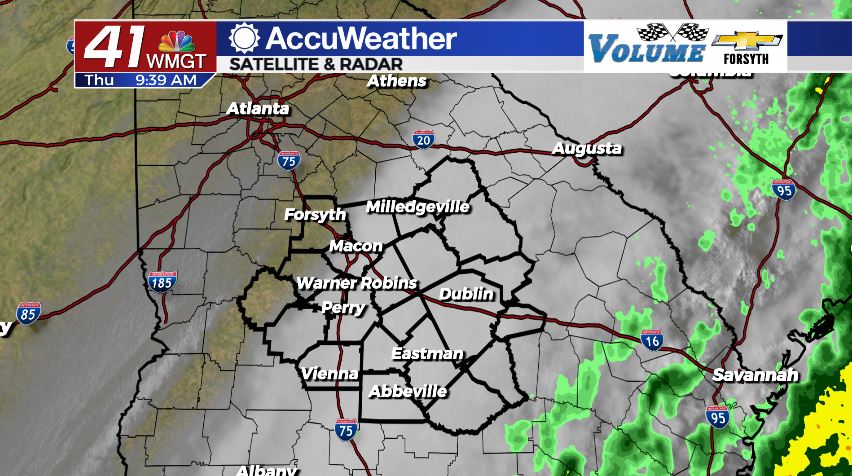
Unfortunately for today not all locations in Middle Georgia will be treated equally. Some of us will see the return of the sunshine and more pleasant conditions. The northwestern counties in the region are most likely to see that. Highs should climb up into the upper 60s and low 70s for those of us who see the sunny afternoon. As for the southeastern counties, unfortunately the trend from yesterday is carrying over: clouds and rain. More than half of the region will fall into this category. The good news is there is no severe weather threat for today. The rain seen in our southern counties will likely be light to moderate during the afternoon hours. Forecast rain totals are under .25″ for the wettest spots this afternoon. The cloud cover will slowly retreat to the southeast as the cold front takes its sweet time trudging out of here.


Overnight is when Middle Georgia will return to a single forecast: mostly clear with winds shifting from the west to the west-southwest at 5-10 mph. Temperatures overnight will be around the average for this time of year: the mid to upper 40s.
Tomorrow


The sunshine will be welcomed back with open arms across the region after the cloudy Wednesday and Thursday. With the cold front finally having moved on the winds will quickly begin to shift back towards the northwest. For tomorrow, the direction will mainly be west-northwesterly as the speeds begin to climb in the afternoon. Sustained speeds will likely hang in the 15-20 mph range with gusts upwards of 30 mph throughout the afternoon. Highs will reach the mid to upper 60s around the region.


The wind will slow to about 5-10 mph overnight while maintaining its west-northwesterly flow. The skies should remain clear as low temperatures drop into the lower 40s.
The Weekend


Saturday will be another blustery day as the winds continue to inch a little bit more towards the northwest. The overall direction will still be out of the west-northwest throughout the day on Saturday. Speeds will sustain at 20-25 mph as gusts potentially reach upwards of 35 mph. The sky overhead will luckily still be clear and sunny as highs climb into the upper 60s around the region.

Sunday will also be sunny as temperatures cool slightly more, this time limiting highs to the mid to upper 60s. The wind will be a good deal calmer than it was Saturday, however with it now coming in from the northwest the chill will be more pronounced. The speeds will still be respectable: sustained speeds will fall in the 10-15 mph range with gusts reaching upwards of 25 mph.
The winds will begin to return towards the south heading into Monday, allowing return flow to build up more heat and humidity leading towards the middle of the week. At this time the next rain chance looks to arrive early next Thursday.

Follow Meteorologist Aaron Lowery on Facebook (Aaron Lowery 41NBC) and Twitter (@ALowWX) for weather updates throughout the day. Also, you can watch his forecasts Monday through Friday on 41NBC News at Daybreak (6-7 a.m.) and 41Today (11 a.m).