Slightly cooler Friday
MACON, Georgia (41NBC/WMGT) – A weak cold front is dropping temperatures and the humidity slightly to finish the work week.
This Evening


Skies will remain clear into tonight and conditions will be less muggy than last night courtesy of a weak cold front moving through. Wind overnight will blow out of the north-northwest around 5 mph. Temperatures will valley in the low to mid 50s, a couple degrees above the average for this time of year.
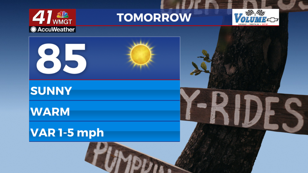
Tomorrow


The final day of the work week will be another sunny and above average afternoon in terms of the temperature. Highs will reach the mid 80s as the wind will be light and variable thanks to high pressure approaching from the northeast.


Overnight will be a bit muggier as the wind generally blows from the south-southwest at around 5 mph. Temperatures will bottom out in the mid to upper 50s under mostly clear skies.
This Weekend


Saturday will be a borderline hot day as highs push into the upper 80s around Middle Georgia. Skies will be mostly sunny. Overnight will be mostly clear and a bit muggy with lows expected in the upper 50s. Sunday will see partly cloudy skies as well as cooler temperatures with most of the region expected to top out in the lower 80s. A couple of isolated showers will be possible in the afternoon, however most of the region will stay dry.
Cooler temperatures are expected to begin next week courtesy of the cold front that moves through over the weekend. Expect above average temperatures to return by the time Halloween arrives next Thursday.

Follow Meteorologist Aaron Lowery on Facebook (Aaron Lowery 41NBC) and Twitter (@ALowWX) for weather updates throughout the day. Also, you can watch his forecasts Monday through Friday on 41NBC News at 4, 5, 5:30, 6, and 11 p.m.