Seasonal conditions expected for First Friday
MACON, Georgia (41NBC/WMGT) – Wind shifting back to the southwest will lead to a warmup to end the week around Middle Georgia.
This Evening and Overnight


The wind has continued to be rather prominent around Middle Georgia as the gusts have ranged from 20-30 mph throughout the afternoon. These winds will finally calm some this evening and tonight as the sustained speeds should fall to under 10 mph. Skies overhead will be mostly clear. It will be a cold night, however, as temperatures will fall into the mid 30s for most of the region. The coldest spots may touch the freezing point. A Frost Advisory includes all counties in the region until 9:00 AM tomorrow with the exception of Taylor, Macon, Dooley, Crisp, and Wilcox Counties.
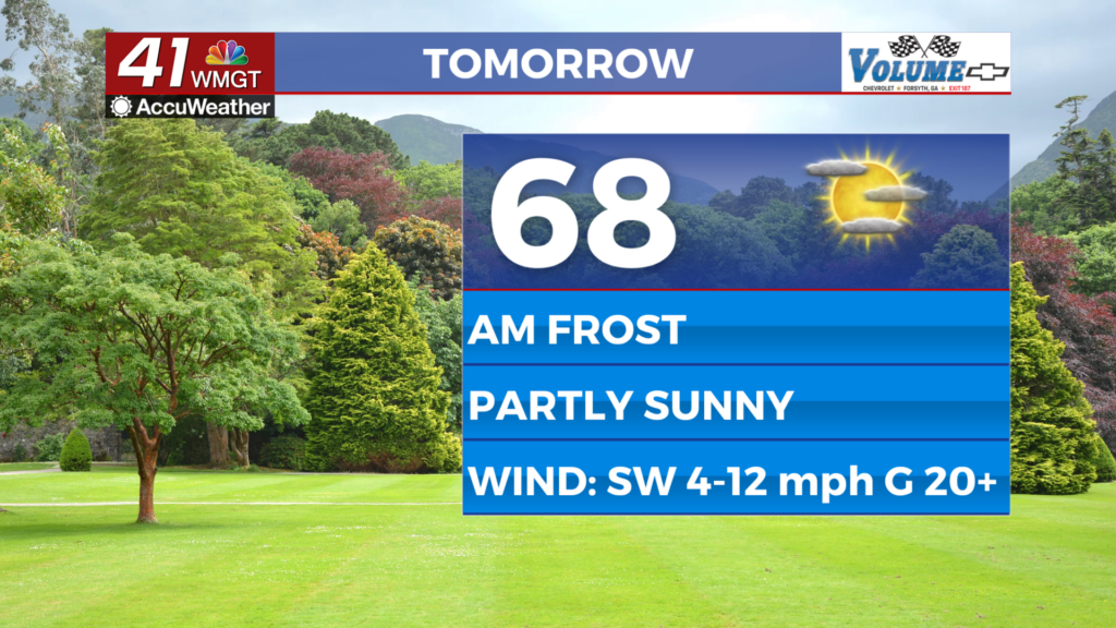
First Friday


Friday will be partly sunny as plenty of cirrus clouds will be overhead throughout the day. Expect highs to be near average (upper 60s/lower 70s) accompanied by winds from the southwest at 5-12 mph. Gusts will likely push towards 20 mph heading into the later parts of the day.


Overnight will be partly cloudy as high clouds remain in the area. Temperatures will make a large jump as lows only fall into the upper 40s and lower 50s, or around 15 degrees warmer than Thursday night. Wind will remain a bit breezy from the southwest as it ranges from 6-13 mph with gusts in the 20-25 mph range.
This Weekend


Saturday will be warm and partly cloudy with an off chance for a shower in the evening. Rain odds will spike overnight and into Sunday with the back half of the weekend likely being rather dreary with rain. Highs in the upper 70s on Saturday will become highs in the lower 60s on Sunday thanks to the new weathermaker. Rain odds could linger into Monday morning. As a side note, don’t forget the clocks will spring forward Saturday night!

Follow Chief Meteorologist Aaron Lowery on Facebook (Aaron Lowery 41NBC) and Twitter (@ALowWX) for weather updates throughout the day. Also, you can watch his forecasts Monday through Friday on 41NBC News at 4, 5, 5:30, 6, and 11 p.m.


