Scattered storms return for Memorial Day
MACON, Georgia (41NBC/WMGT) – Scattered storms will stick around Middle Georgia the rest of the evening.
Tonight


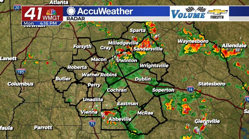
Scattered storms began to fire up for Middle Georgia around 1:00 this afternoon, making their way in from the southeast. These will slowly continue to push northwest until they run out of steam as the sun sets. Clouds that filled in this afternoon and evening should clear for the most part overnight, but some will still be hanging around by tomorrow morning. A couple of showers may persist overnight as well, but most of the rain activity will set with the sun. Overnight winds will come in at around 5 mph from the southeast, calming from 10+ mph during the evening hours. Lows will be in the mid to upper 60s around the region.
Tomorrow


Our skies will be mostly clear to begin the day. We will see scattered cloud fields develop in the afternoon, but there should not be as many as today. Storm chances will also be a good deal lower, only one or two isolated small storms are likely tomorrow afternoon/evening. The wind will not do much to cool highs in the lower 90s as it comes in from the east-southeast around 5 mph. Gusts may reach upwards of 15 mph.


Overnight the afternoon clouds will quickly clear, bringing on clear skies to head into Wednesday morning. Overnight winds will blow from the south-southeast at around 5 mph. Lows will be in the mid to upper 60s.
The Rest of the Week

The pattern of all sun and then mostly sun with scattered clouds and isolated storms in the afternoon will continue through Thursday. The lowest chance for rain at this point looks to be Wednesday June 1st. Highs will remain in the low to mid 90s around the region with some upper 90s being possible come Wednesday or Thursday. Winds will shift towards the northwest come Wednesday and blow from that general direction at speeds below 10 mph the rest of the work week. Overnight lows will be in the upper 60s and lower 70s through that same timeframe.

Over the weekend is where things could get interesting, but there is nothing to be concerned with at this point. The European Model is forecasting for some sort of tropical system to develop in the gulf and move across north Florida come Saturday night. It is then forecasting it to intensify off of the Atlantic coast of GA once it leaves Florida come Sunday afternoon. Given the current forecast if it were to pan out we would see a good bit of cloud cover, some strong breezes, and some light rain. The GFS sees something as well, but it is further south in the Caribbean and should not affect the Peach State.
The other models are seeing a weekend with partly cloudy skies and an increased chance for pop-up thunderstorms in the afternoon as highs drop back into the upper 80s. Lows would stay in the upper 60s, and the wind will remain variable between each day with speeds that stay below 10 mph.

Follow Meteorologist Aaron Lowery on Facebook (Aaron Lowery 41NBC) and Twitter (@ALowWX) for weather updates throughout the day. Also, you can watch his forecasts Monday through Friday on 41NBC News at Daybreak (6-7 a.m.) and 41Today (11 a.m).