Scattered storm odds remain elevated
MACON, Georgia (41NBC/WMGT) – Scattered storms and below average temperatures are continuing to begin the new work week.
This Evening


Mostly cloudy skies are abundant around Middle Georgia and showers and storms have been scattered in nature as they press northward. Nothing severe is expected but lighting and thunder will be fair game for any showers that develop. Skies should stay mostly cloudy into tonight as lows will be in the low to mid 70s around Middle Georgia. Wind will be light from the east-southeast.
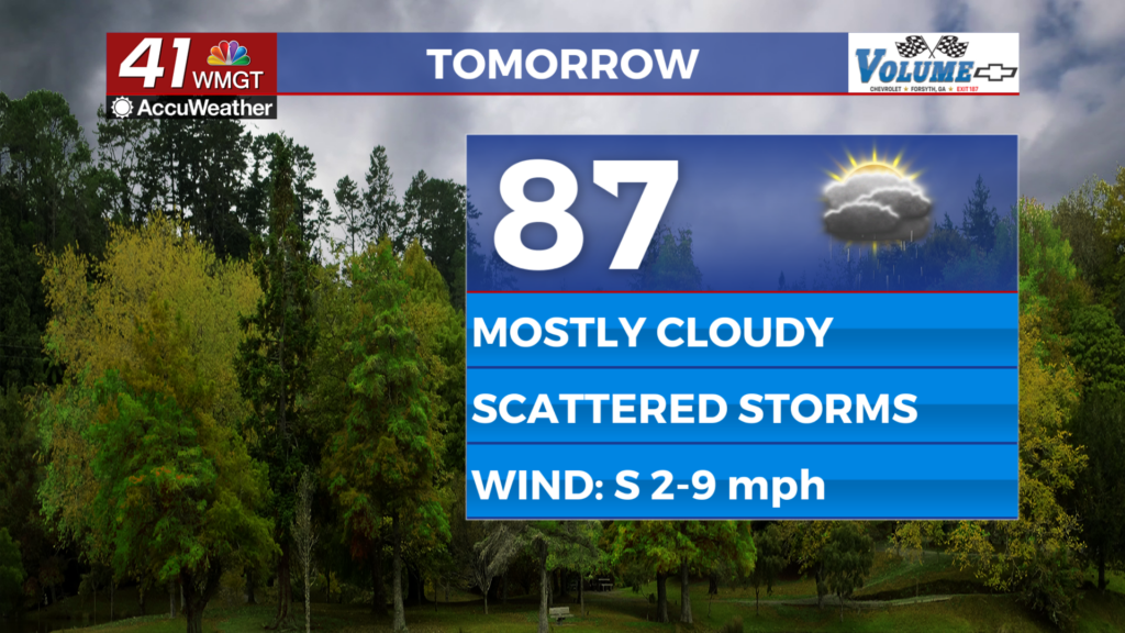
Tomorrow


Tuesday should also be mostly cloudy with highs likely in the upper 80s for much of the region. A few low 90s cannot be ruled out. Wind will be light from the south at around 5-10 mph.


The afternoon is when storm odds will reach their peak, carrying into the evening hours. No severe weather is expected however the strongest and most organized storms could bring some respectable wind gusts.


Overnight some clearing is expected however a few showers and storms will linger until 2-3 AM. Lows will again be in the low to mid 70s, or around the average for this time of year.
Wednesday and Beyond


Storm odds should become a bit more isolated in nature (less widespread) by Wednesday as the pattern shifts to more of a partly cloudy one. Highs at this point will start pushing back into the 90s as the wind returns out of the southwest. Gradual warming will continue towards the weekend.
Watching the Tropics

Tropical Storm Erin has formed off the west coast of Africa and will slowly meander westwards over the next week or more. It bears watching as it could reach Major Hurricane Status by the coming weekend.

Follow Chief Meteorologist Aaron Lowery on Facebook (Aaron Lowery 41NBC) and Twitter (@ALowWX) for weather updates throughout the day. Also, you can watch his forecasts Monday through Friday on 41NBC News at 4, 5, 5:30, 6, and 11 p.m.