Rain chances for this weekend are almost negligible
MACON, Georgia (41NBC/WMGT) – A stubborn high pressure system has severely limited rain chances for this weekend.
Today


We will continue to see sunny conditions around Middle Georgia as we head into the weekend. Our highs today will be a couple of degrees warmer than yesterday across the board, resulting in most of the region climbing over 70 degrees this afternoon. We will also see our bit of cloud cover this morning give way to clear skies this afternoon. Winds will primarily blow from the southwest today at speeds of 5-10 mph. Gusts are likely to be in the 10-20 mph range.


Overnight a couple of clouds may pass through, but temperatures will still chill down to the upper 30s and lower 40s once again. The wind shift slightly northward through the overnight hours as it blows from the west-southwest at about 5 mph. No rain is expected today or tonight.
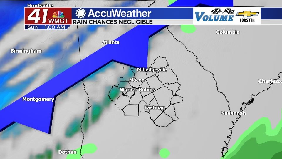
Tomorrow


Guess what? We’ve got more sunshine on deck for Saturday thanks to high pressure still hanging over the Georgia Atlantic coast. It will, however, likely see the most clouds we’ve had all week since Tuesday. High temperatures will reach their peak for the week in the low 70s across the board, but we likely will not see any mid 70s. Winds will continue to blow out of the southwest with gusts between 15 and 20 mph. Cloud cover will begin to increase more during the evening hours ahead of the cold front’s arrival.


We will see an abundance of cloud cover overnight as we head into Sunday, however due to the overall lack of moisture in the region thanks to the stubborn high, rain chances are extremely slim. Telfair, Wheeler, Wilcox, Dodge, and maybe Laurens Counties have a chance for a shower overnight. Nobody else in the region should see any rain activity, and for those that do the rain will be extremely light and short lived. Cloud cover will begin to clear shortly after midnight as temperatures again drop into the upper 30s and lower 40s.
Sunday


The clear skies return in full on Sunday following the cold front’s passing, but unlike the days leading up to it there will be a noticeable chill in the air. Winds from the northwest at 10-15 mph with gusts over 20 mph will fill the Georgia atmosphere with cold and dry air, limiting high temperatures around Middle Georgia to the mid to upper 50s. Clear conditions will stick around through the overnight hours as temperatures plummet below freezing heading into Monday morning.

Monday will be cool and sunny like Sunday, but after that temperatures will quickly begin to rebound as southeasterly winds return on Tuesday. Humidity will also begin to rise heading into the back half of the week with rain chances climbing after Wednesday.

Follow Meteorologist Aaron Lowery on Facebook (Aaron Lowery 41NBC) and Twitter (@ALowWX) for weather updates throughout the day. Also, you can watch his forecasts Monday through Friday on 41NBC News at Daybreak (6-7 a.m.) and 41Today (11 a.m).


Leave a Reply