Patchy light rain has arrived with limited impacts
MACON, Georgia (41NBC/WMGT) – A cold front advancing eastward across the Central Plains towards the Southeast supports a wave of light showers filtering in across northwest Georgia. 


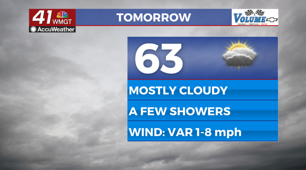
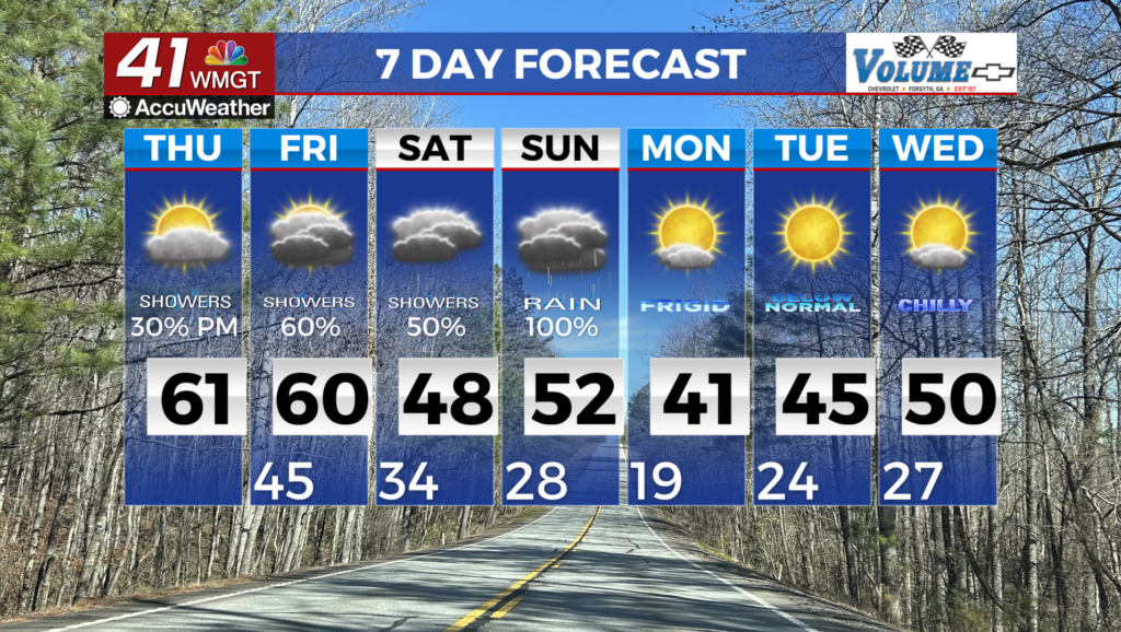
Expect fairly warm overnight lows in the mid 30s to lower 40s will ensure overnight precipitation remains liquid in nature for now. Showers continue across much of north and Middle Georgia for most of the day, although accumulations will remain light. Temperatures will range in the upper 50s to low 70s. The long term begins with a winter storm expected over portions of North Georgia. Here’s the set up. The troughing pattern begins to dive southward late Friday into Saturday and continues into Sunday. The low off the Pacific Coast will then push eastward and be the main factor in our impactful winter weather. The timing and track of this system is still in question. This has been a difficult system to forecast, but the northward shift could make a difference in the forecast. This could influence the wedge reinforcement in which North Georgia feels the affects. The wedge will be a big determining factor in how far south we see the wintry precip push. When examining deeper, into the wedge set up on the models, you can see that they are both struggling to resolve the wedge as most long range models do. This ultimately shows a classic wedge set up which also points towards the reinforcing of a freezing rain setup. It will be interesting to see how the other models begin to come in Friday to give us more of an idea as to where the corridor will set up between freezing rain/wintry mix and cold rain. Therefore, the area with the higher likelihood of increased ice amounts are north of I-20 with the potential for seeing freezing rain just north of Macon if the wedge is stronger. A Winter Storm Watch has been issued for North Georgia, starting from 1:00 AM through 10 AM Monday. This is not the ending point for this watch. This is likely to change. We now want to focus on the importance of being ready and to make sure that you have preparations ready as soon as possible. If we receive a prolonged period of freezing rain then we seethe threat of power outages as well. After the storm, we expect temperatures to take a dive.