One more cool morning before heat returns
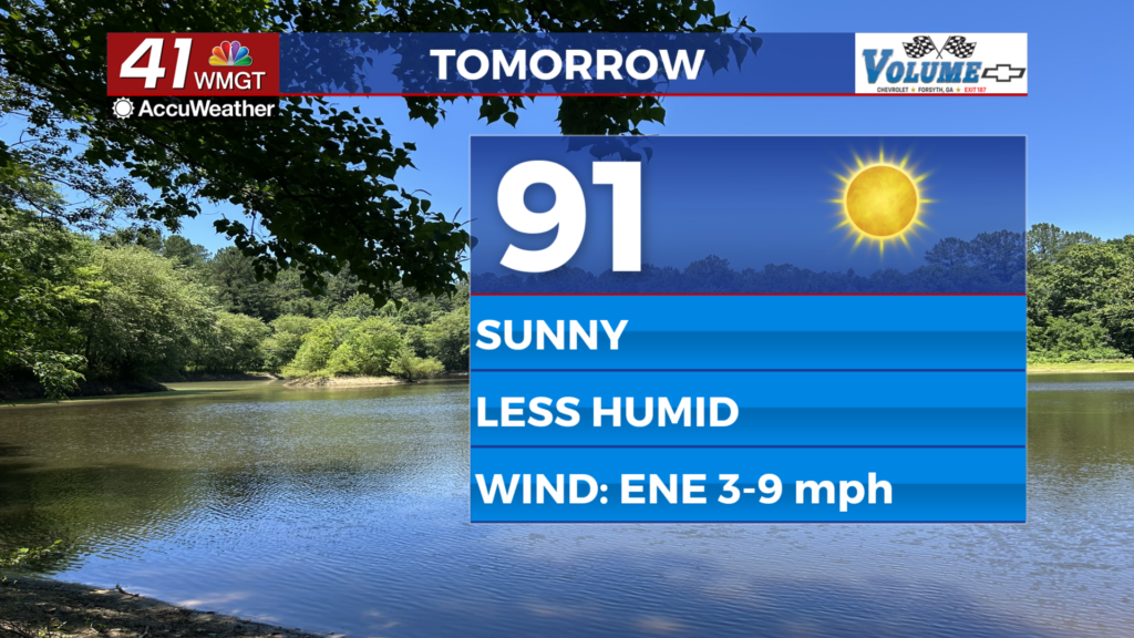
MACON, Georgia (41NBC/WMGT) – Any hope for cooler Fall temperatures will have to wait awhile longer, with highs climbing into the upper 80s to low 90s across much of the area today. The 


warmest temperatures will be concentrated in the far northwestern portions of our area. As far as precipitation is concerned, expect dry air aloft areawide to limit our chances through the day. The one benefit of the wedge is that surface mixing with dry air aloft will lower dewpoints into the low to mid-60s, preventing more oppressive heat from happening. On Thursday, the ridge axis will retrograde slightly to the west while the Cold Air Damming wedge lingers across portions of North Georgia. This will lead to little change into the prevailing flow pattern and sensible weather across North and Middle Georgia. Low temperatures will range from low to mid-60s over Middle Georgia and the mountains, with upper 60s elsewhere. Highs will warm a degree or two as winds 


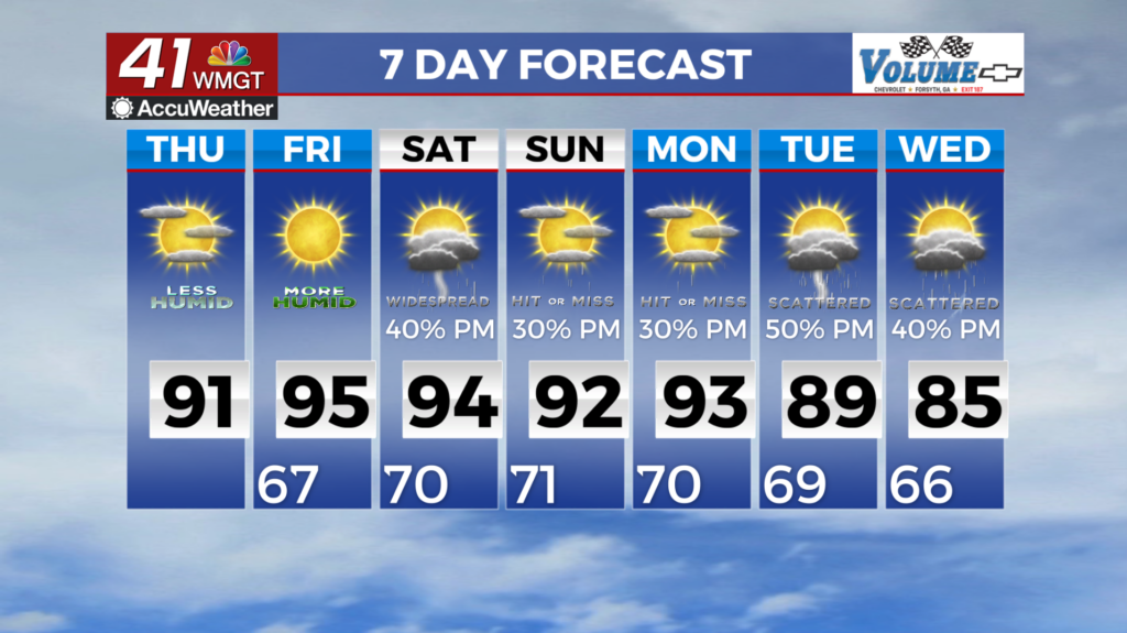
become more variable through the day. Expect dry conditions to continue, with only an isolated chance of a shower or thunderstorm, mostly over the northeastern portions of our area. As we approach the end of the work week, we continue to hold on to unseasonably warm temperatures across much of the region. Highs in the low to mid 90s with heat index values in the triple digits will continue into the weekend. Thunderstorm chances during the afternoon will be down to less than 20 percent for much of the area through the week. The ridge is finally expected to break down Sunday into Monday as a front approaches. Isolated thunderstorms will be possible on Sunday afternoon, becoming more widespread on Monday but total rainfall is expected to less than an inch for much of the region. The front will bring afternoon thunderstorms back into the forecast to start off next week. This will help to moderate temperatures down to the upper 80s and low 90s; still warm for this time of year.