November kicks off with some warmth and sunshine
MACON, Georgia. (41NBC/WMGT) – Benign weather kicks off the new month following the cloudy weekend.
Today


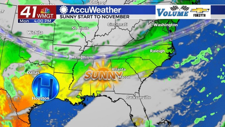
If you are someone who likes to take down their Halloween decorations the day after Halloween, the weather is in your favor today. High pressure has move into the Southeastern US following the low pressure and cloudy weather that ended last week and carried into the weekend. Sunshine will be abundant across the Peach State with very little cloud cover. Temperatures will also be quite seasonable, topping off in the low 70s across the region. A gentle east-northeast wind will add a miniscule amount of moisture to the air, however with speeds hanging around 5 mph you likely won’t notice it much, especially after the wind that ended last week. Overnight tonight the wind speed will calm further and only a couple of high level clouds will likely be present. Temperatures will bottom out in the mid to upper 40s ahead of tomorrow morning.
Tomorrow


With high pressure moving closer to Georgia, a second day of near cloudless skies is expected. The wind will shift from the east-northeast to the north-northwest which will keep conditions relatively dry. Temperatures however will climb a couple of degrees during the afternoon compared to today, topping off in the low to mid 70s. The northerly winds will persist into the overnight hours, keeping things clear heading into Wednesday morning. Low temperatures will increase slightly in temperatures, bottoming out in the upper 40s and lower 50s across Middle GA.
Wednesday and Beyond

The approach of our next potential storm system arrives on Wednesday. The conditions for Wednesday are expected to be relatively pleasant with an abundance of sunshine early and scattered cloud cover filling in during the afternoon. High temperatures will be the coolest so far this week, topping off in the upper 60s and lower 70s. There will also be a chance during the evening hours for some isolated showers as high pressure breaks down and low pressure begins to approach from the west. Cloud cover will increase drastically overnight, keeping low temperatures a bit warmer in the lower 50s for most of the region.

Thursday will be the cloudy and wet day of the week with scattered showers and storms likely during the afternoon hours. At this time however it looks as though North and South Georgia will receive more rain than Middle GA. This likely hints to the timing of the next cold front passing through during the overnight hours; limited heat content during the early morning hours often translates to limited rain potential. The wind will remain from the northeast once the system passes, and the clearing of clouds will occur throughout the day on Friday. The coming weekend looks to be sunny and cool with highs in the low 60s. Also, this coming weekend will see the end of daylight savings time. Don’t forget to set your clocks back!

Follow Meteorologist Aaron Lowery on Facebook (Aaron Lowery 41NBC) and Twitter (@ALowWX) for weather updates throughout the day. Also, you can watch his forecasts Monday through Friday on 41NBC News at Daybreak (6-7 a.m.) and 41Today (11 a.m).


Leave a Reply