New week to be cloudy and wet
MACON, Georgia (41NBC/WMGT) – A wet pattern is taking over much of the southeastern US this week, including Middle Georgia.
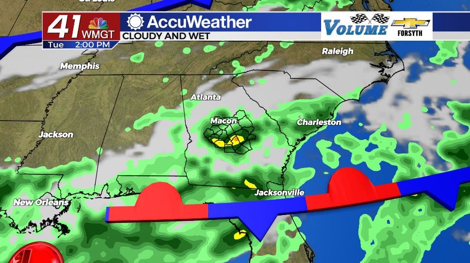
This Evening


Our skies will remain mostly cloudy as we go through the rest of this evening and into tonight. Our shower chances will remain low, however a few isolated showers and storms are expected around the region. A couple of storms could bring some heavy rain or even a bit of small hail. Frequent cloud-to-ground lightning will also be possible.


Overnight tonight we could see a few more storms develop around the region, however most of us will stay dry. There will, however still be plenty of cloud cover and moisture in the air. Winds will come in gently from the south-southeast at around 5 mph. Patchy fog is likely, especially in lower lying areas. Lows will be in the lower 70s across Middle Georgia.
Tomorrow


Clouds will again dominate the Middle Georgia skies tomorrow during the daylight hours. Ambient winds will be rather benign from the southwest. Scattered storms are likely during the afternoon and evening hours. The chance for rain tomorrow is certainly higher than today as a stationary front sets up over the region. It will continue the cooler trend we are seeing this week, however. Forecast highs around Middle Georgia tomorrow are in the mid to upper 80s, a large improvement from last week. Afternoon storms are once again likely to bring heavy rain, frequent cloud-to-ground lightning, and even some small hail.


Storm activity is likely to persist into the early parts of tomorrow night, however cloud cover will attempt to clear once we get past midnight. We will be able to see (at least somewhat) a near Full Thunder Moon in breaks in the clouds leading up to Wednesday morning. Overnight lows will be in the lower 70s around the region.
Wednesday and Beyond


Wednesday looks to be the day this week with the lowest chance for rain. We will still see an abundance of clouds throughout the day, however a few pockets of sunshine are likely. Due to the lower chance for rain on Wednesday, it is also likely to be our hottest day of the week. Forecast highs around Middle Georgia are expected to be in the upper 80s and lower 90s. Rain chances will begin to ramp up during the overnight hours on Wednesday, however, especially leading into Thursday morning. Overnight lows will be in the low to mid 70s.

A cold front will push through the Peach State on Thursday, bringing plenty of rain chances with it. Thunderstorms with stronger wind gusts will be the primary threat as it comes through. The cold front will also begin to allow our temperatures to cool once again. Highs on Thursday are anticipated to be in the upper 80s around Middle Georgia. Lows will be in the lower 70s.

Conditions will remain cloudy and cooler into the weekend. Something could brew in the gulf over the next few days. As of now the National Hurricane Center is giving it less than a 40% chance to develop over the next 48 hours, however even a weak tropical system can bring plenty of rain. This could affect our weekend here in Middle Georgia, so it may be a good idea to hold off on weekend plans if you can.

Follow Meteorologist Aaron Lowery on Facebook (Aaron Lowery 41NBC) and Twitter (@ALowWX) for weather updates throughout the day. Also, you can watch his forecasts Monday through Friday on 41NBC News at Daybreak (6-7 a.m.) and 41Today (11 a.m).