


More storms likely tomorrow afternoon
MACON, Georgia (41NBC/WMGT) – An early summer pattern will continue into the middle of the week with more pop up storms likely in the afternoon and evening Wednesday.
This Evening
A few isolated showers and storms are ongoing late this afternoon and a few more remain possible through the evening and early tonight. Temperatures will remain warm for this time of year again with most spots staying above 60 degrees heading into Wednesday morning. Some fog will be possible again as overnight wind will be light from the south-southeast.
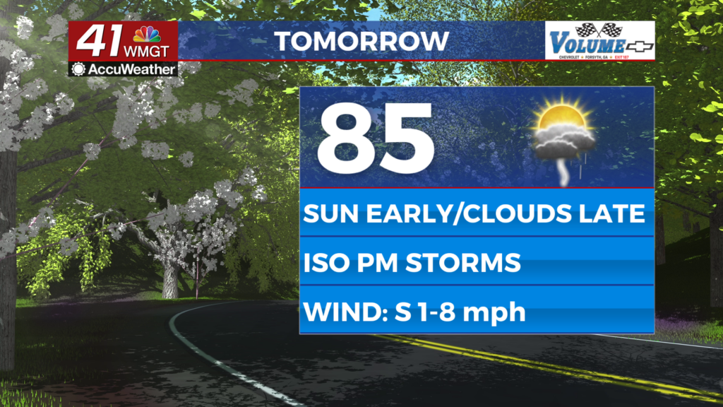
Tomorrow
Another partly cloudy and warm day is expected across Middle Georgia with temperatures peaking in the mid 80s. More clouds are likely over the back half of the day when just under half the region could see showers or storms. No severe weather is expected but any well developed storm could have frequent cloud to ground lightning and very heavy rain. This rain would be very helpful in reducing pollen levels, however it will likely have no impact on drought conditions.


Overnight will be partly cloudy with a few showers or perhaps a storm lingering early. Temperatures should drop to around 60 degrees accompanied by light wind from the south-southeast.
Thursday and Beyond
Thursday should be the hottest day of the week with highs reaching the upper 80s for much of the region. To go with that rain odds will drop again with only a shower or storm possible through the afternoon and evening. Friday will see those rain odds spike again which should help more parts of Middle Georgia lower some pollen levels. Conditions will stay well above average into Easter Weekend.

Follow Chief Meteorologist Aaron Lowery on Facebook (Aaron Lowery 41NBC) and X (@ALowWX) for weather updates throughout the day. Also, you can watch his forecasts Monday through Friday on 41NBC News at 4, 5, 5:30, 6, and 11 p.m.