More heat and humidity Wednesday ahead of storms Thursday
MACON, Georgia (41NBC/WMGT) – A warm front will lead to more heat and humidity Wednesday, setting the stage for storms and a cold front early Thursday.
The Rest of the Evening


Mostly cloudy skies will not budge tonight around Middle Georgia. A small shower or two will be possible, particularly in the northern third of the region. Winds will come from the southeast at around 5-12 mph, gusting as high as 20 mph by tomorrow morning. Some patchy fog will be possible early. Low temperatures tonight will be in the lower 60s, and dew points will likely be just below that or matching.
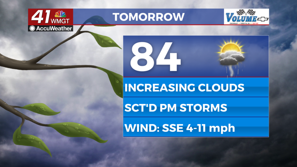
Tomorrow


A mostly cloudy morning could see some sun come out in the afternoon, leading to a sauna feel outside. Highs will likely reach the low to mid 80s with dewpoints likely to reach into the mid 60s in the more humid spots. A few showers will be possible, especially in the afternoon. Ambient winds will be rather strong thanks to a warm front, coming from the south-southeast at 10-20 mph and gusting as high as 30 mph.


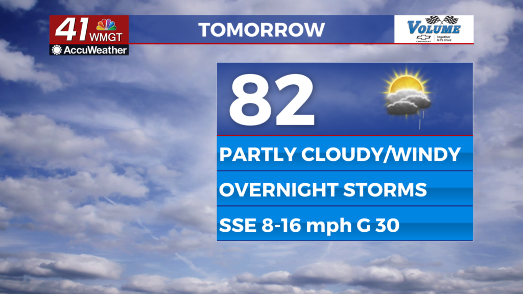
Overnight is when rain odds will jump, likely between 2 and 4 am for most of the region. Storms will be weakening from Alabama, however a Level 1 “Marginal” threat for severe weather has been highlighted for the western third of the region until 5 AM Thursday morning. The main threat for storms will be strong winds, but a brief tornado cannot be ruled out. Aside from the overnight storms it will be very warm and windy with lows in the mid to upper 60s and southerly winds coming in at speeds as high as 25 mph. Gusts over 40 mph will be possible outside of storm activity.
Thursday and Beyond


Thursday will be a rough start for Middle Georgia as a line of storms moves through the southeastern half of the region. This area has been highlighted by the SPC with a Level 2 “Slight” risk for severe weather. With the sun being back during the late morning hours Thursday, this could lead to storm re-intensification and thus will elevate risks a bit higher. Storms should be out of Middle Georgia by 1-2 PM Thursday afternoon.


Clouds will work to clear out through the evening, however a stray shower or two will be possible behind the line. Overnight is when the clouds will actually clear as temperatures drop into the low to mid 50s following an afternoon with highs in the upper 70s. Powerful winds will also stick around the Peach State in the cold front’s wake Thursday night and Friday. Fortunately, sunny conditions will accompany this wind and carry Middle Georgia into the weekend.

Follow Meteorologist Aaron Lowery on Facebook (Aaron Lowery 41NBC) and Twitter (@ALowWX) for weather updates throughout the day. Also, you can watch his forecasts Monday through Friday on 41NBC News at 4, 5, 5:30, 6, and 11 p.m.